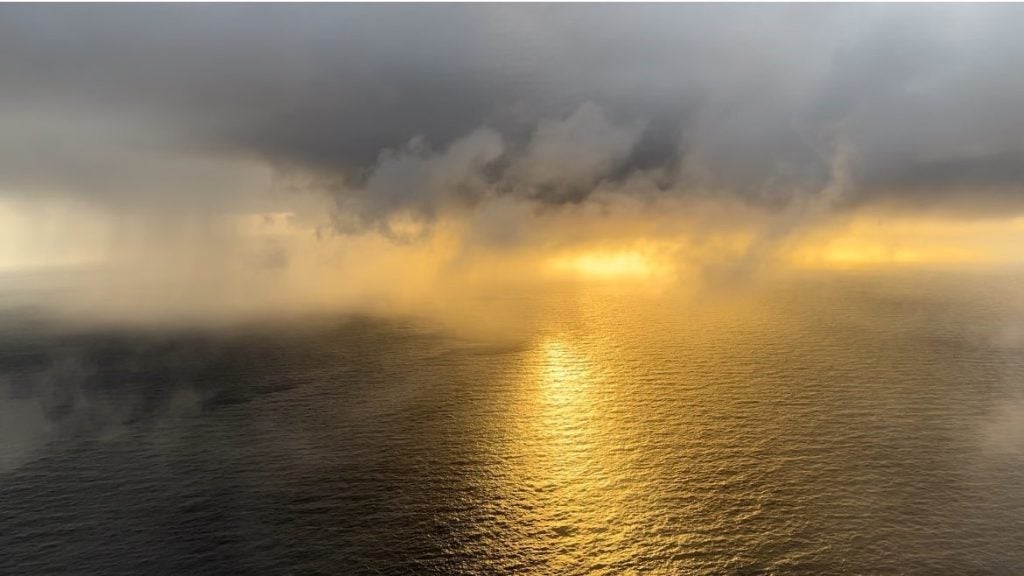
Northern California is currently in the midst of its first significant rainfall of the season. The plume of moisture currently advecting on shore can be traced all the way back to a weakened typhoon in the western Pacific. I’ve heard a lot of chatter that this is an example of an “atmospheric river“, a strong, steady plume of moisture advected poleward out of the moist tropics. We have come to appreciate recently that atmospheric rivers are responsible for many of the significant rainfall events here in California and on the western coasts of several continents. But, I have to ask myself when an atmospheric river is really an atmospheric river and when it isn’t. The TPW loop shows that this moisture is not arriving from the deep tropics, but rather, from a ex-tropical system. The original definition of an atmospheric river makes no mention of the origins of the moisture, and as such, it is perfectly general. But, the connotation has generally been one in which the moisture originates from the TPW maximum around the equator. The precise definition becomes important as those of us in CA focus research efforts on the formation mechanism of atmospheric rivers and try to determine how they will change under global warming scenarios. Therefore, I would like to propose that “rivers” such as the one currently impacting CA simply be grouped in with normal warm frontal processes and we reserve the use of “atmospheric rivers” to those features extracting moisture directly from the deep tropics.
UC Davis Cloud Library
-
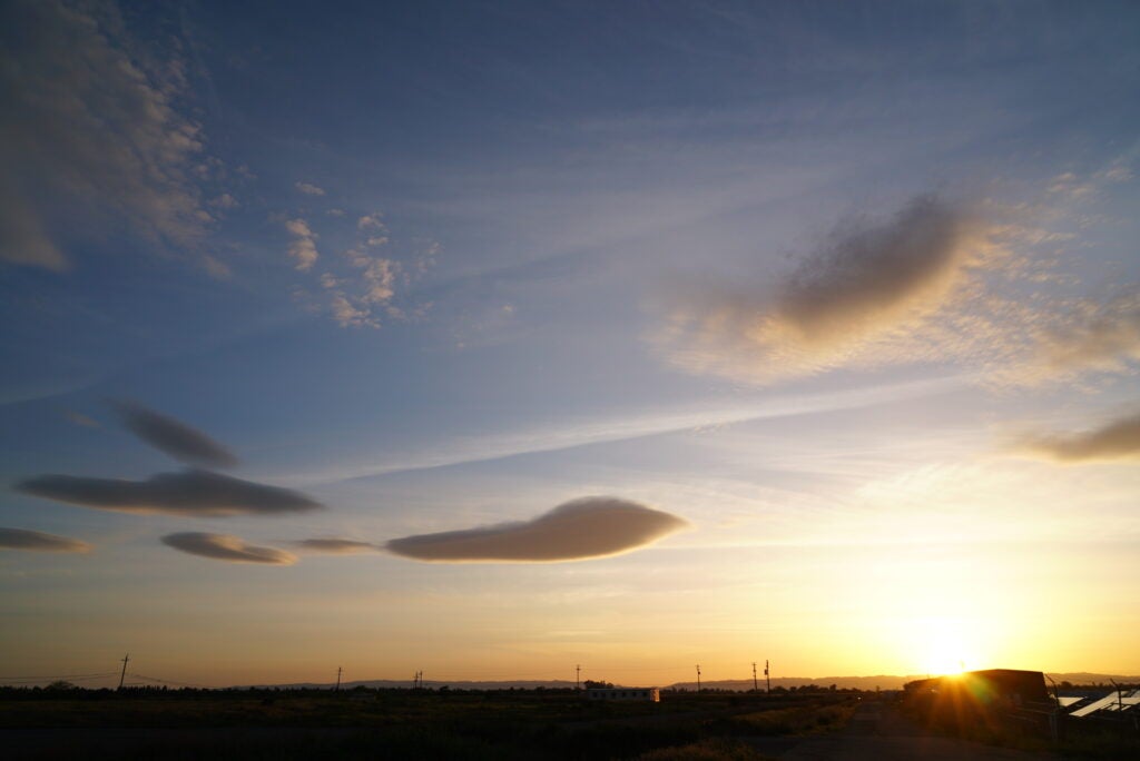
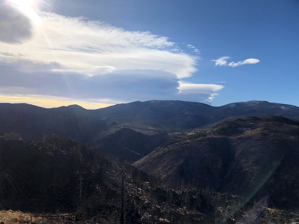
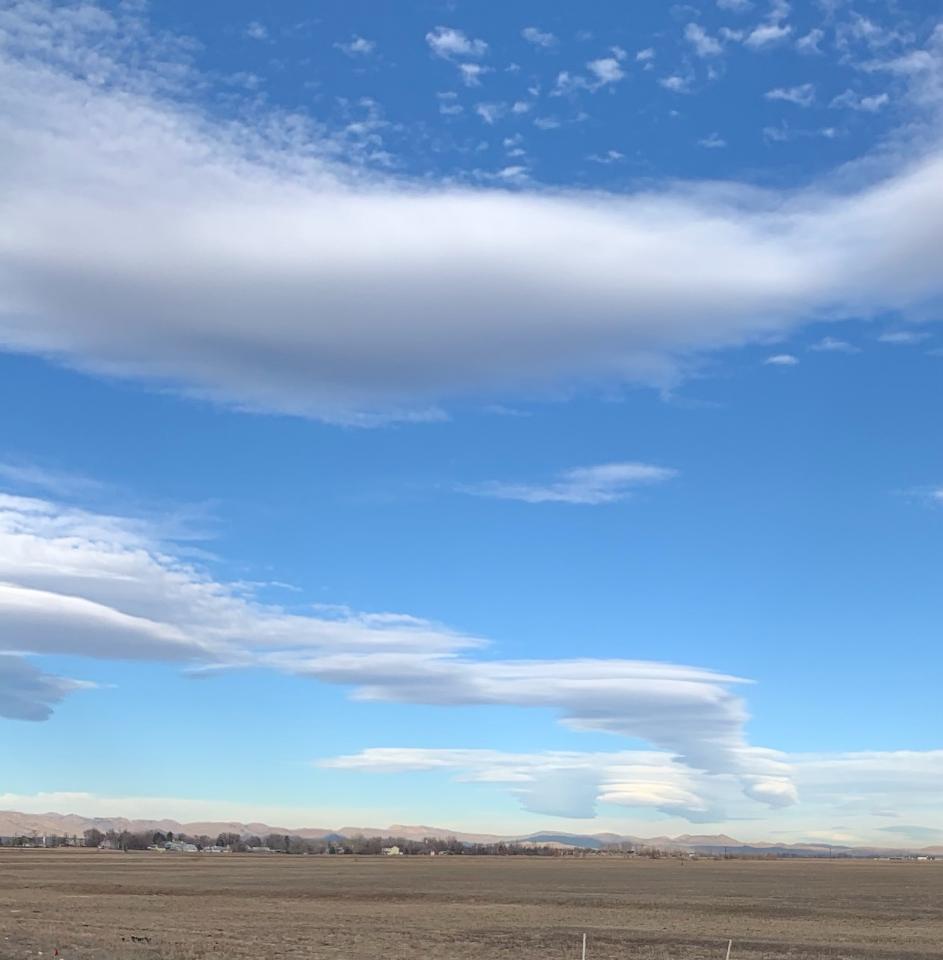
- Valley Lenticulars. © Lewin Bormann
-
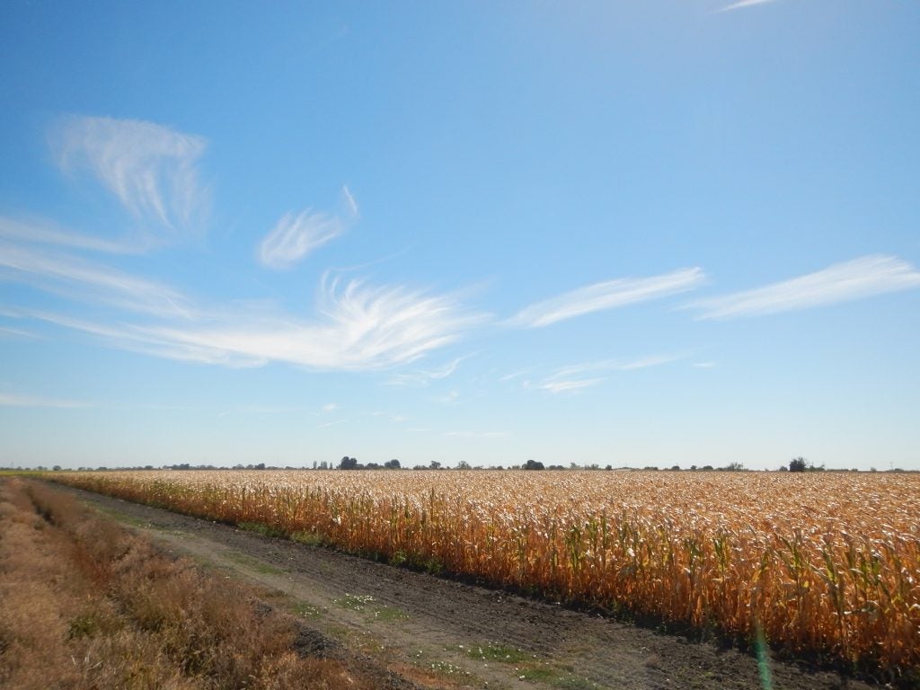
- Delta Corn © Jenae Clay
-
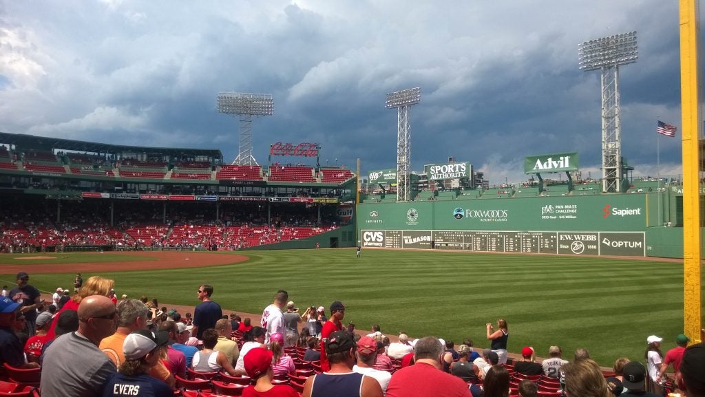
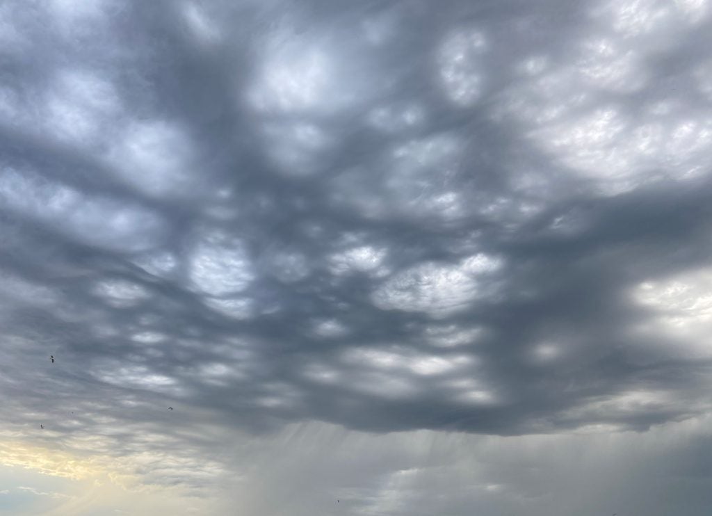
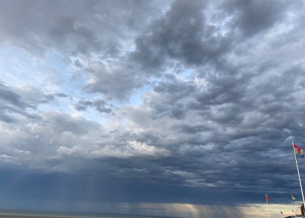
- Clouds over the Green Monster
-
- Mono Lake © Nicholas Falk
-
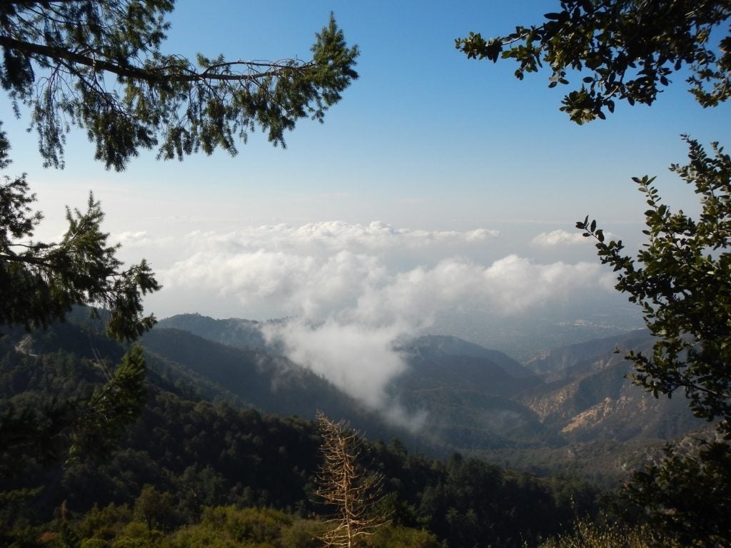
- Mt Wilson © Jenae Clay
-
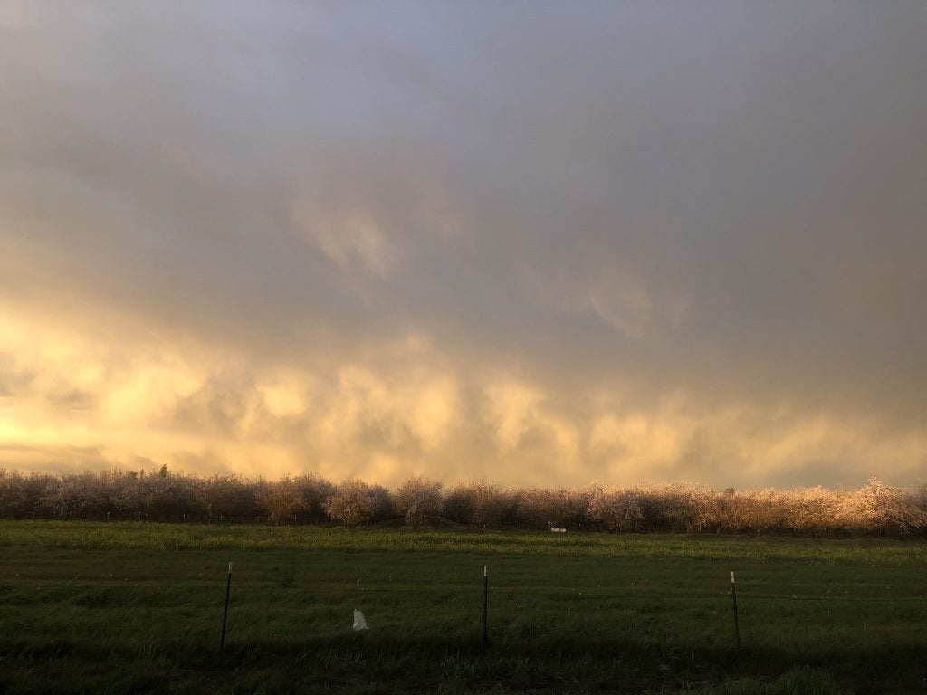
- Almonds and Graupel © Kosana Suvočarev
-

- Multiple Cloud Types © Jillian Olivar
-
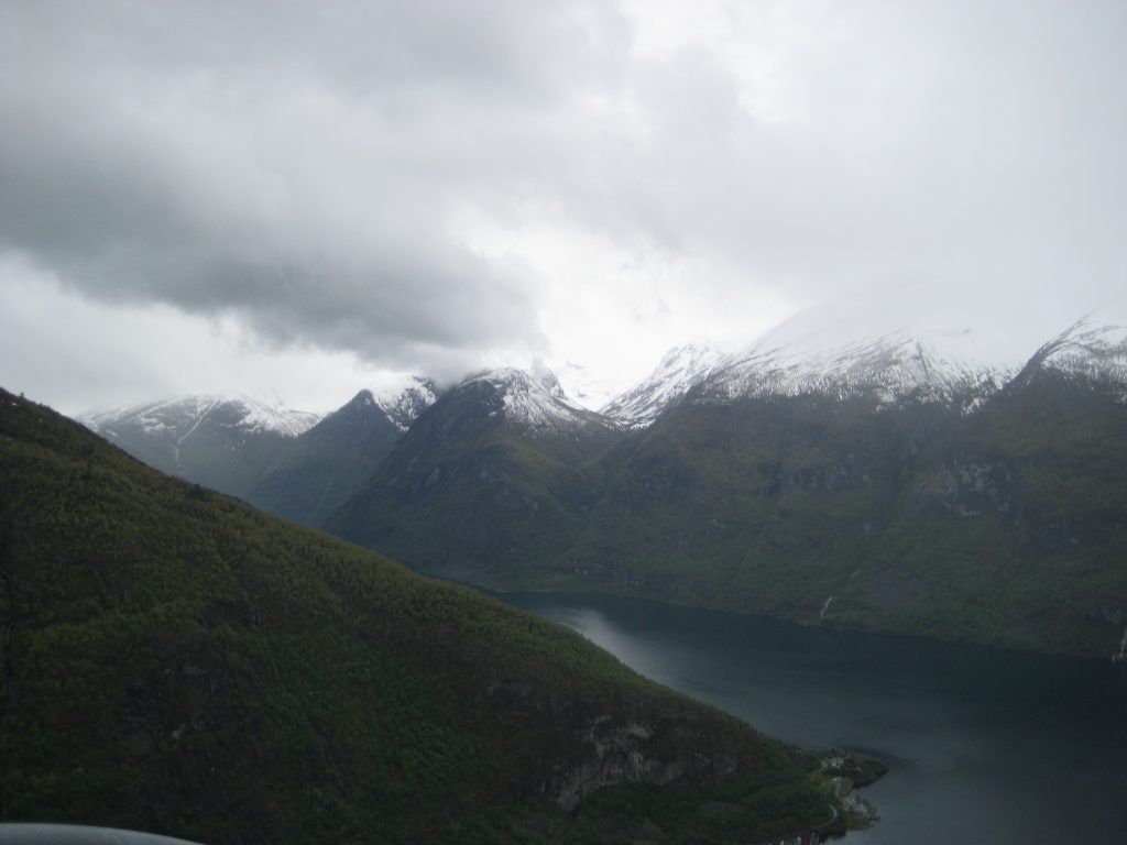
- Norwegian Fjord
-
- Power plant plume. © Jen Power.
-
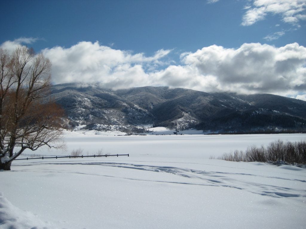
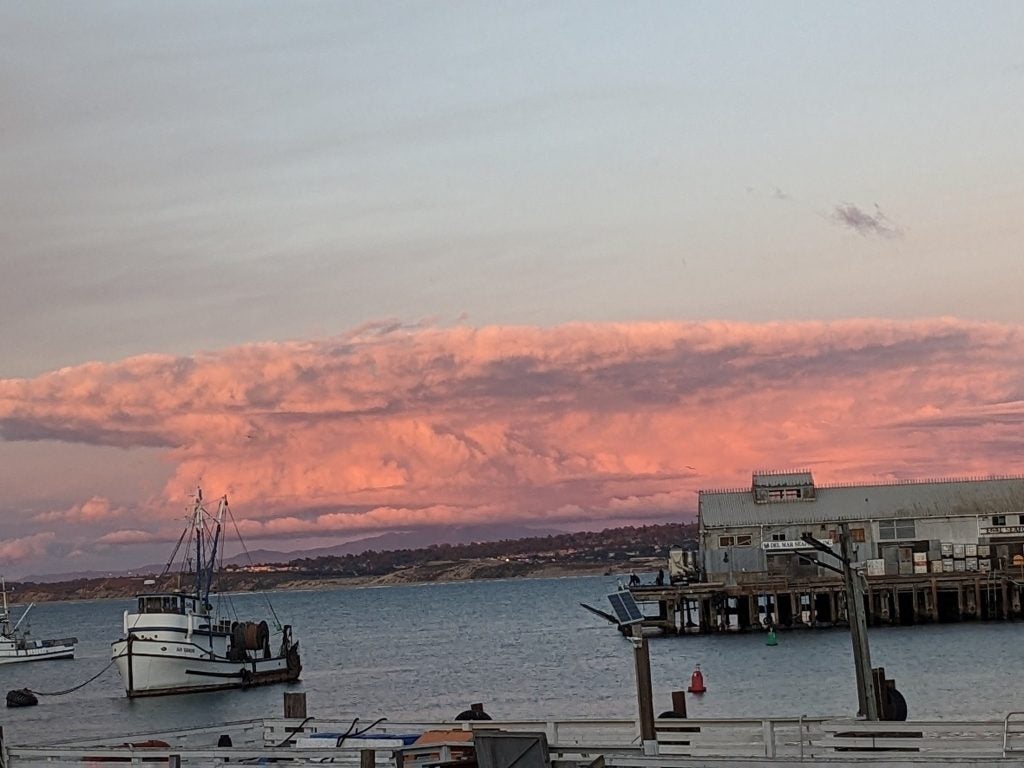
- Steamboat Springs
-
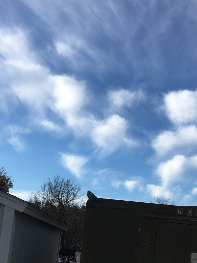
- Midlevel Virga © Alexis Clouser
-
- Ice-fall
-
- Waves
-
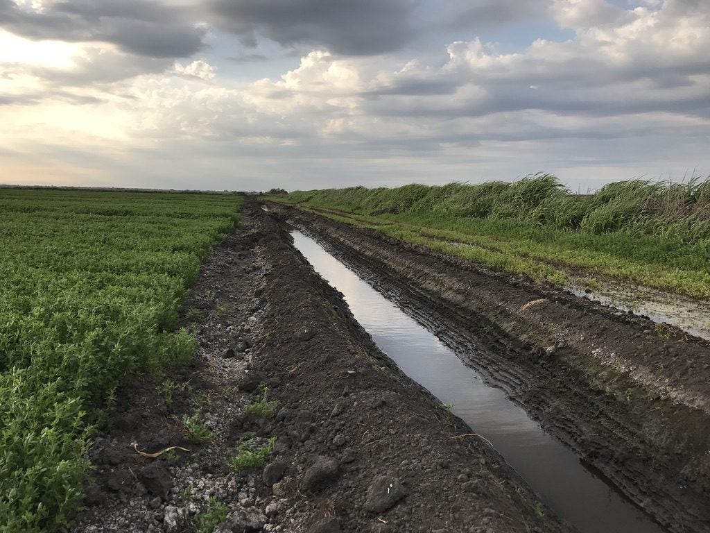
- Drainage © Jenae Clay
-
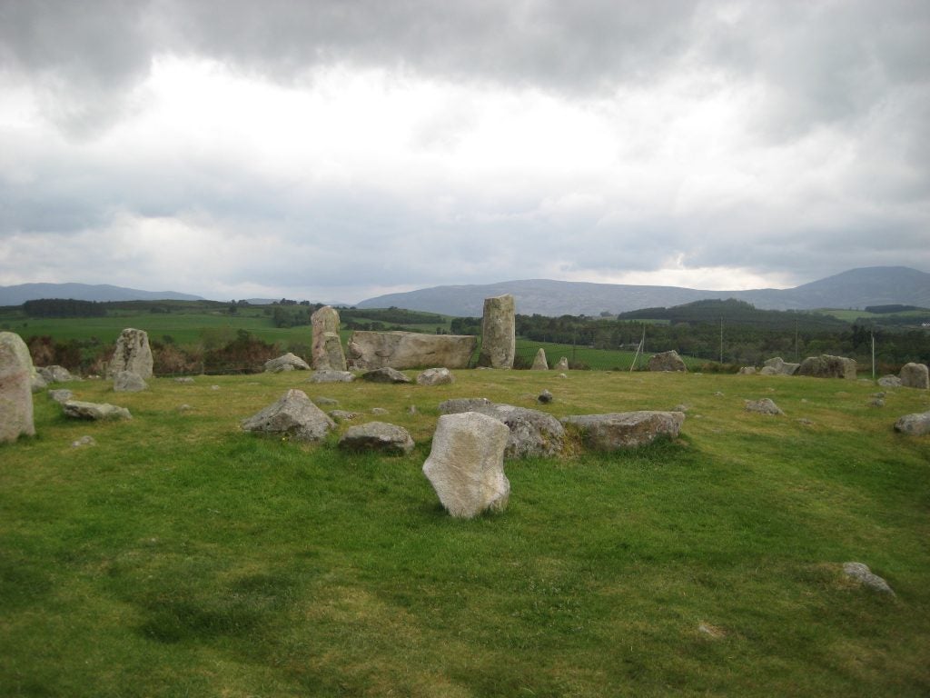
- Stone Circle
-
- Sunset Virga © John Igel
-
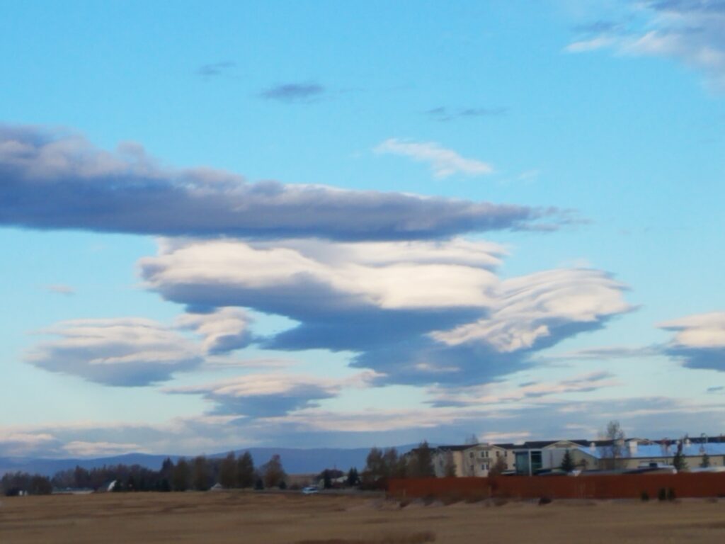
- Fuzzy Lenticulars
-
- Multi-Layer © Jillian Olivar
-

- Puffy in WY. © Jen Power.
-
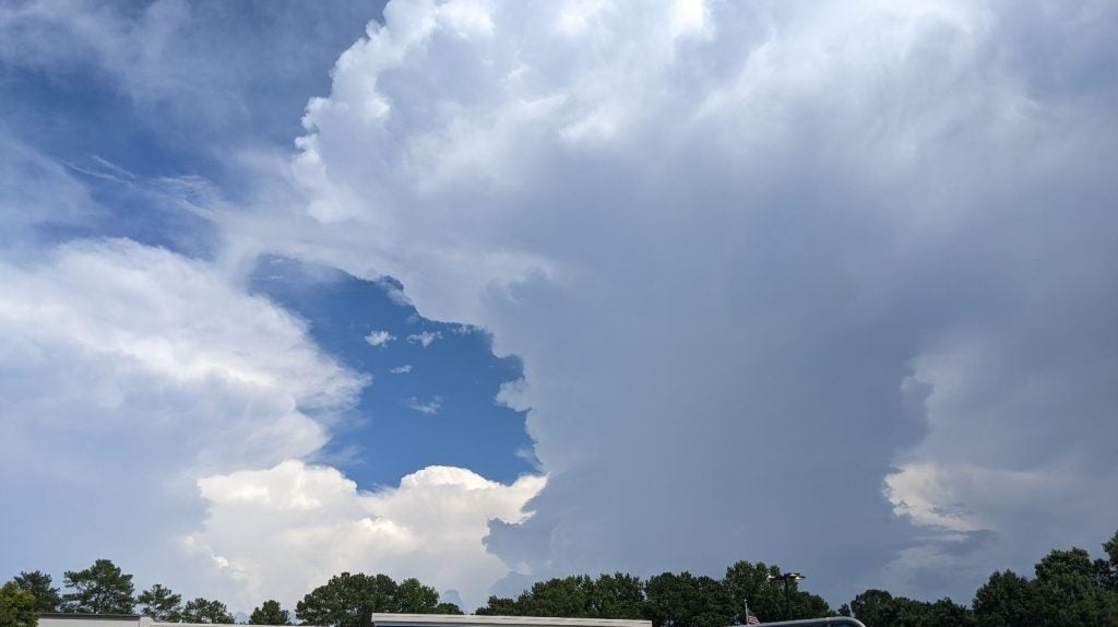
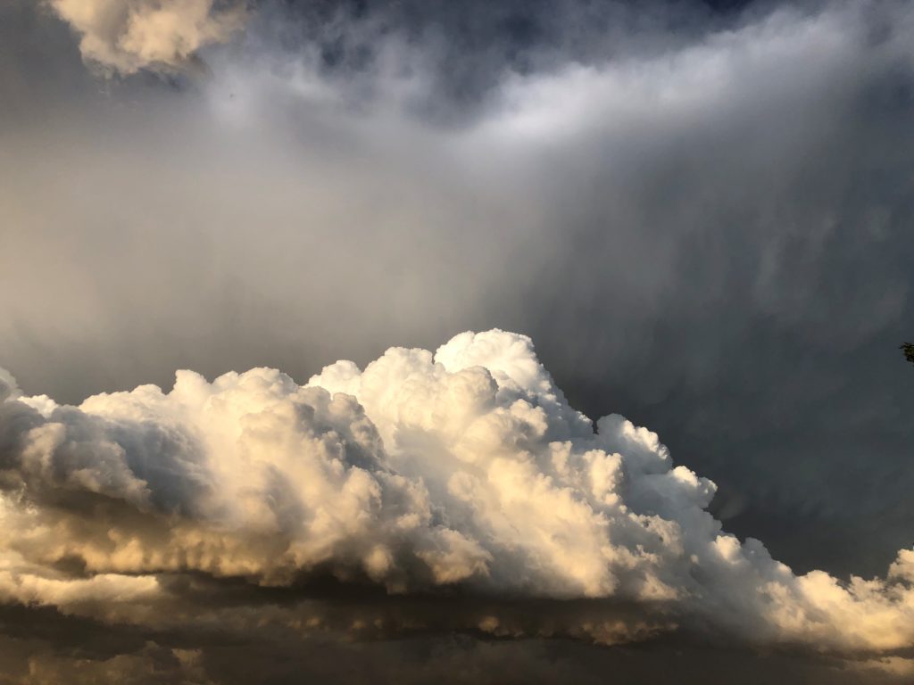
- Medium Cb from Monterey © Alexis Clouser
-
- Mt Diablo © Jenae Clay
-
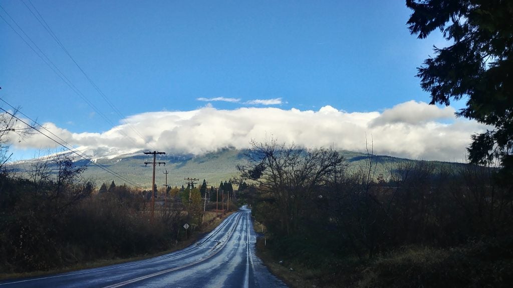
- Long Road
-
- Ocean Undulatus © Lucas Sterzinger
-
- Pancake Lenticulars © Nick Falk
-
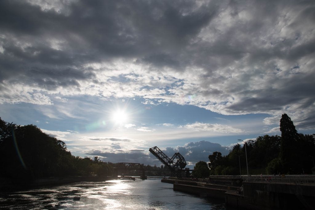
- Ballard Locks. © Katherine Chin
-
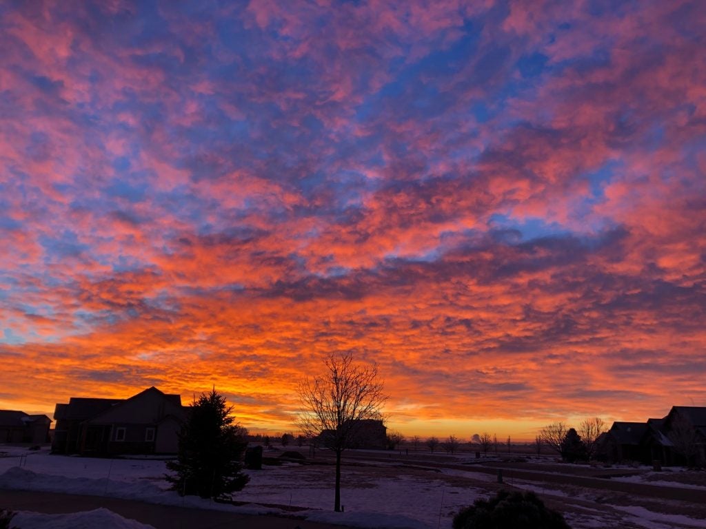
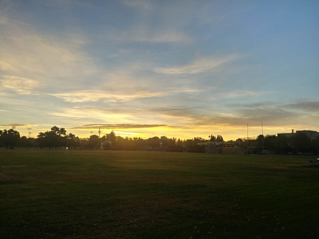
- Sunrise in Windsor © John Igel
-
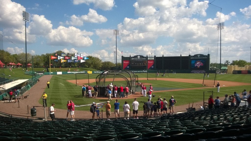
- Grapefruit League Clouds
-
- Hard Edges
-
- Rain over North GA. © Laura Gray.
-
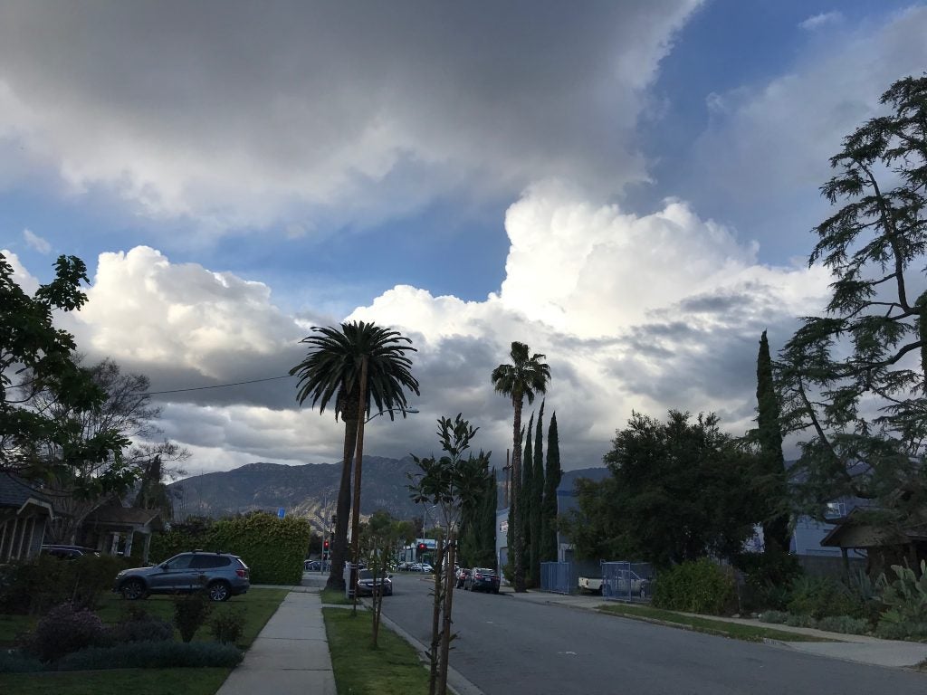
- Pasadena Spring © Rachel Storer
-
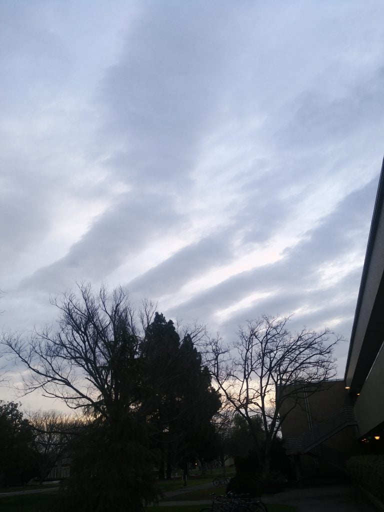
- Cirro-Cu?
-
- Supercell over Davis © Ameya Naik
-
- Clouds over Winter Park © Eric Maloney
-
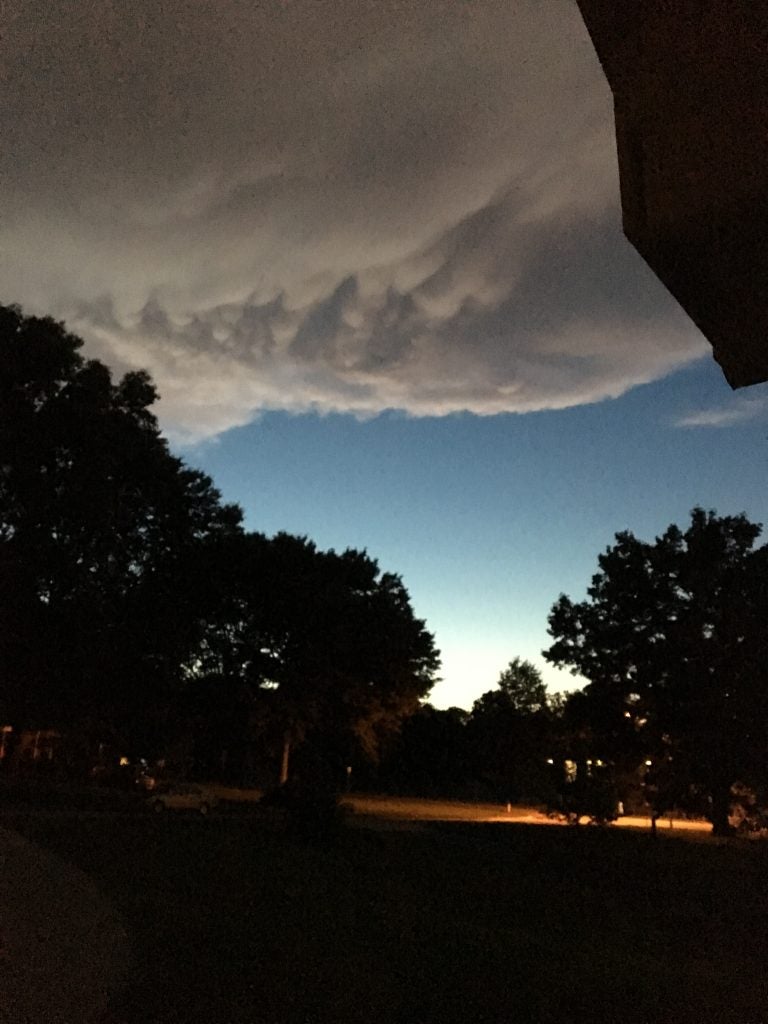
- Cold Pool Cap © John Igel
-
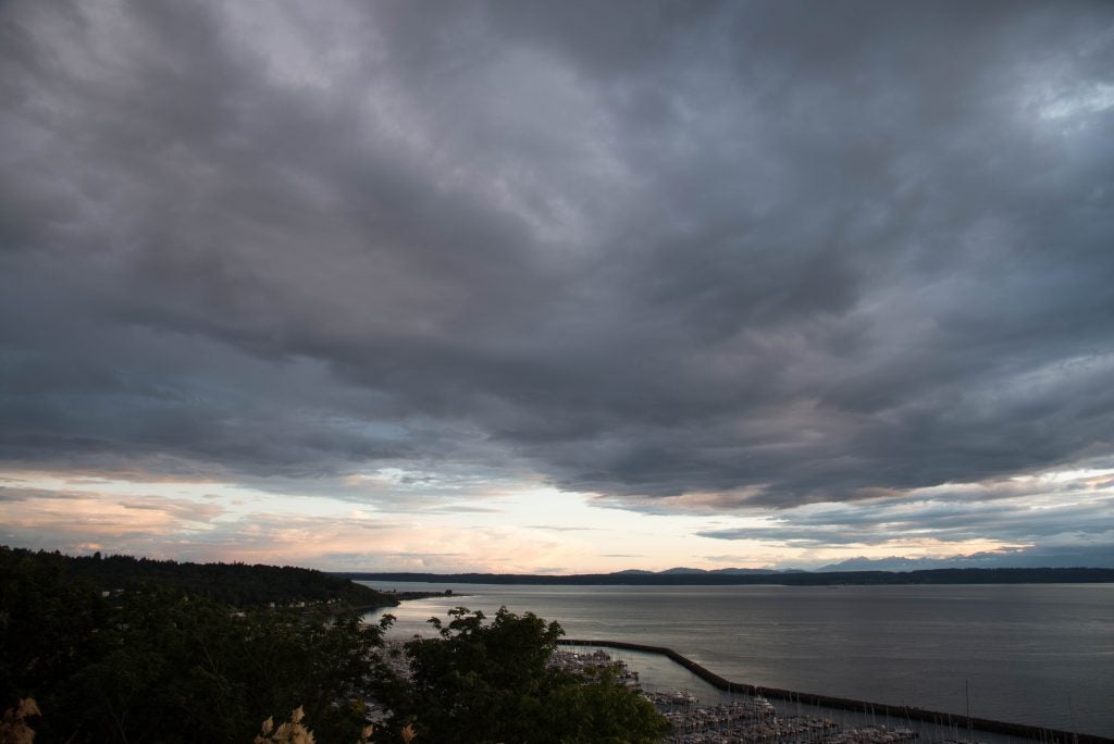
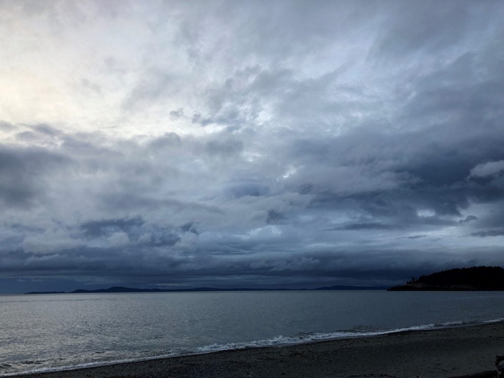
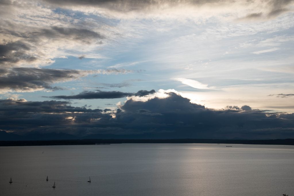
- Sunset in Seattle. © Katherine Chin
-
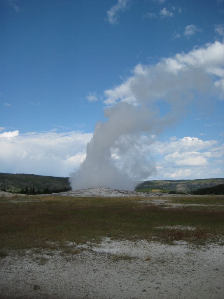
- Yellowstone
-

- Davis Hail © Ameya Naik
-
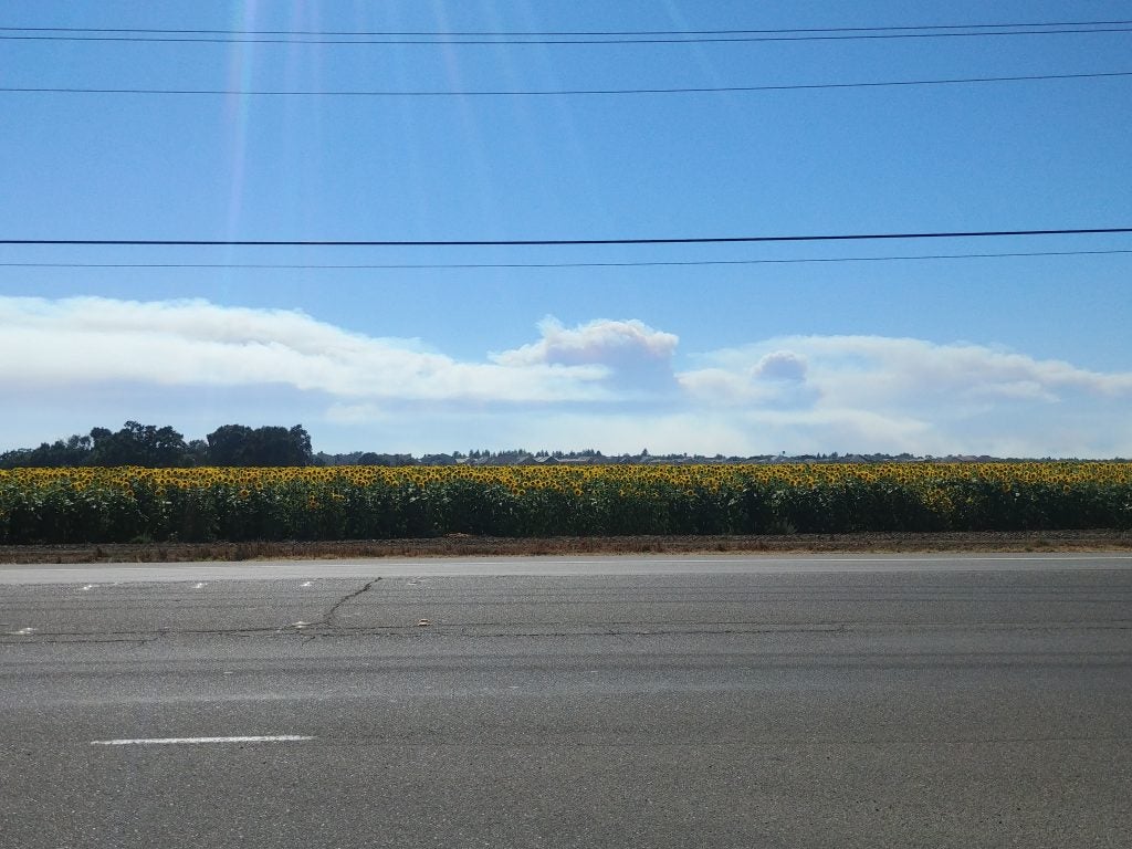
- Smoke over Davis
-
- Lake Pend Cumulus © John Igel
-
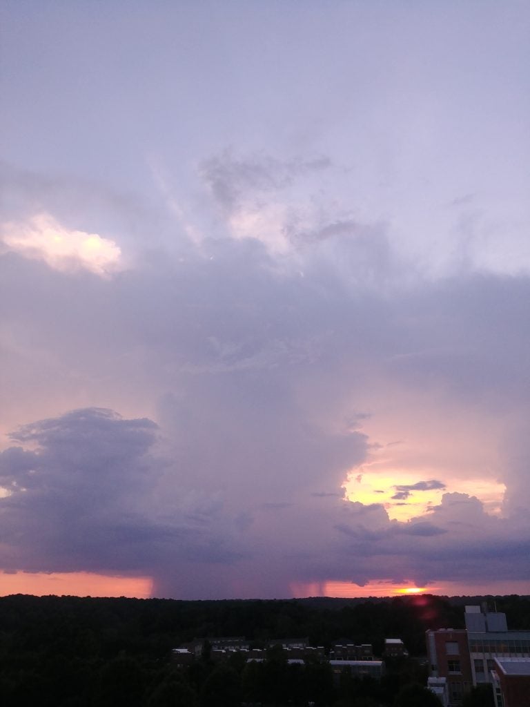
- Raleigh Storm
-
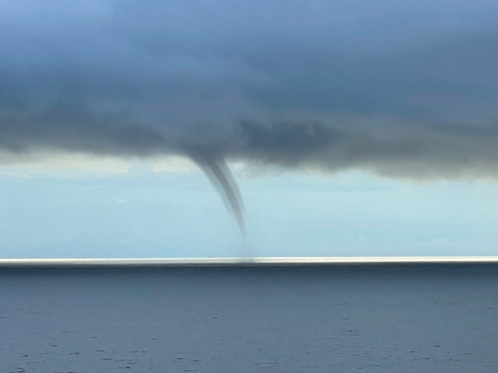
- FL Water Spout. © Walter Milton
-
- Outflow like Woah © John Igel.
-
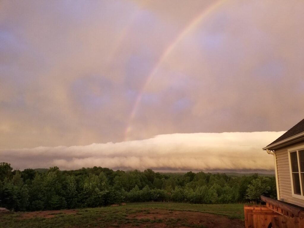
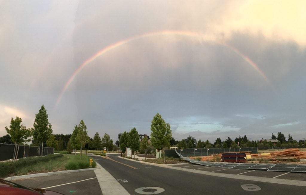
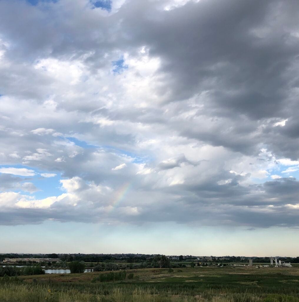
- Double Bow
-
- Stormin’ Norman…dy © Lucas Sterzinger
-
- NJ Downpour © Lea Tong
-
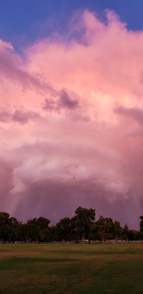
- Wet and Dry
-
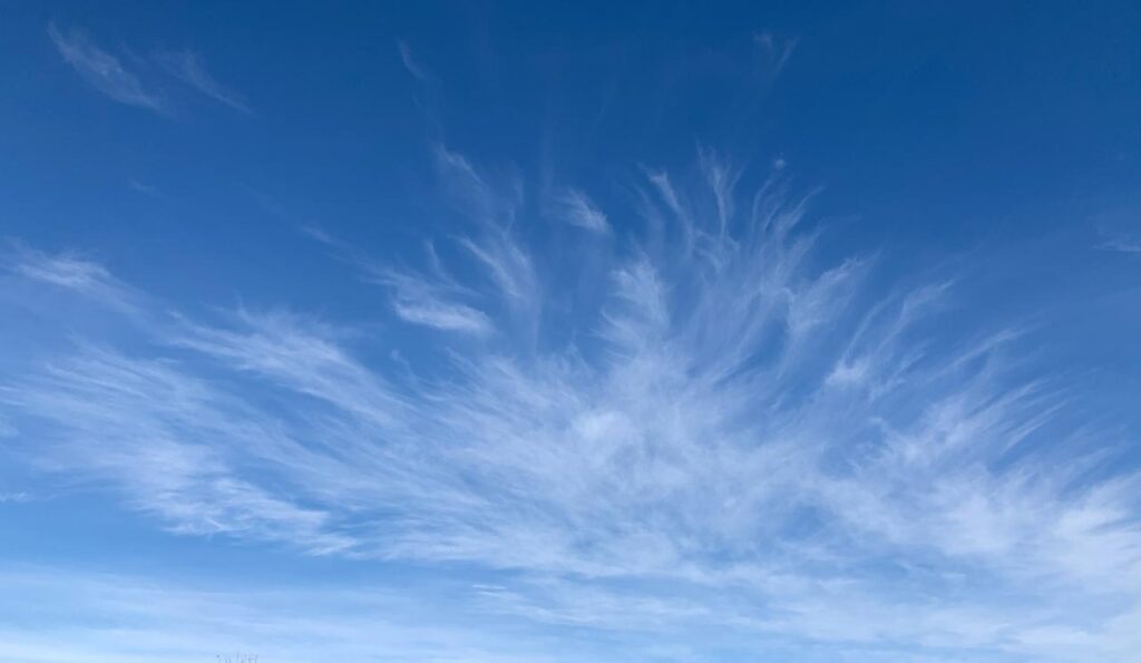
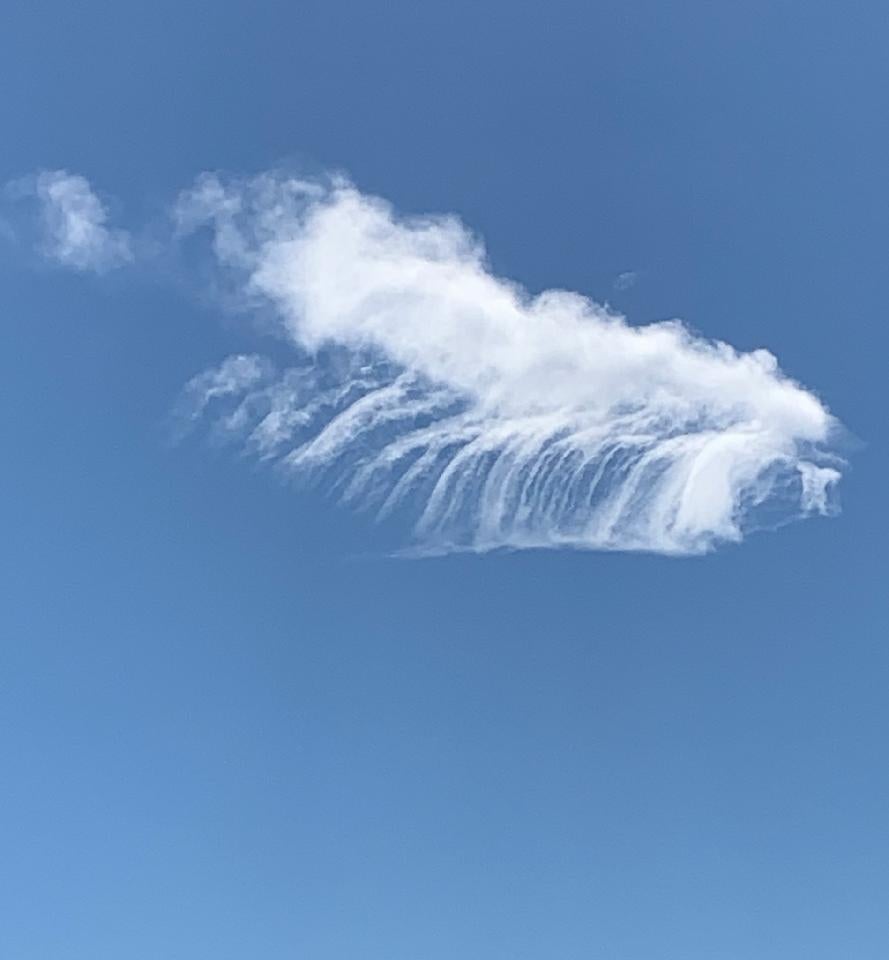
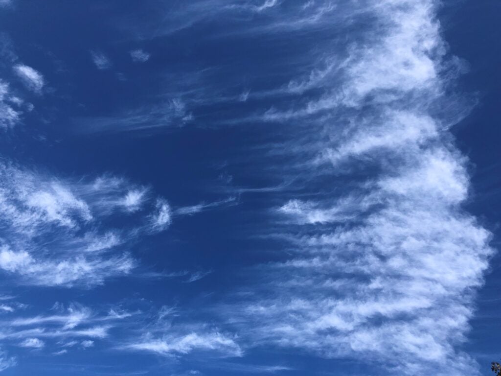
- Mare’s Tail
-
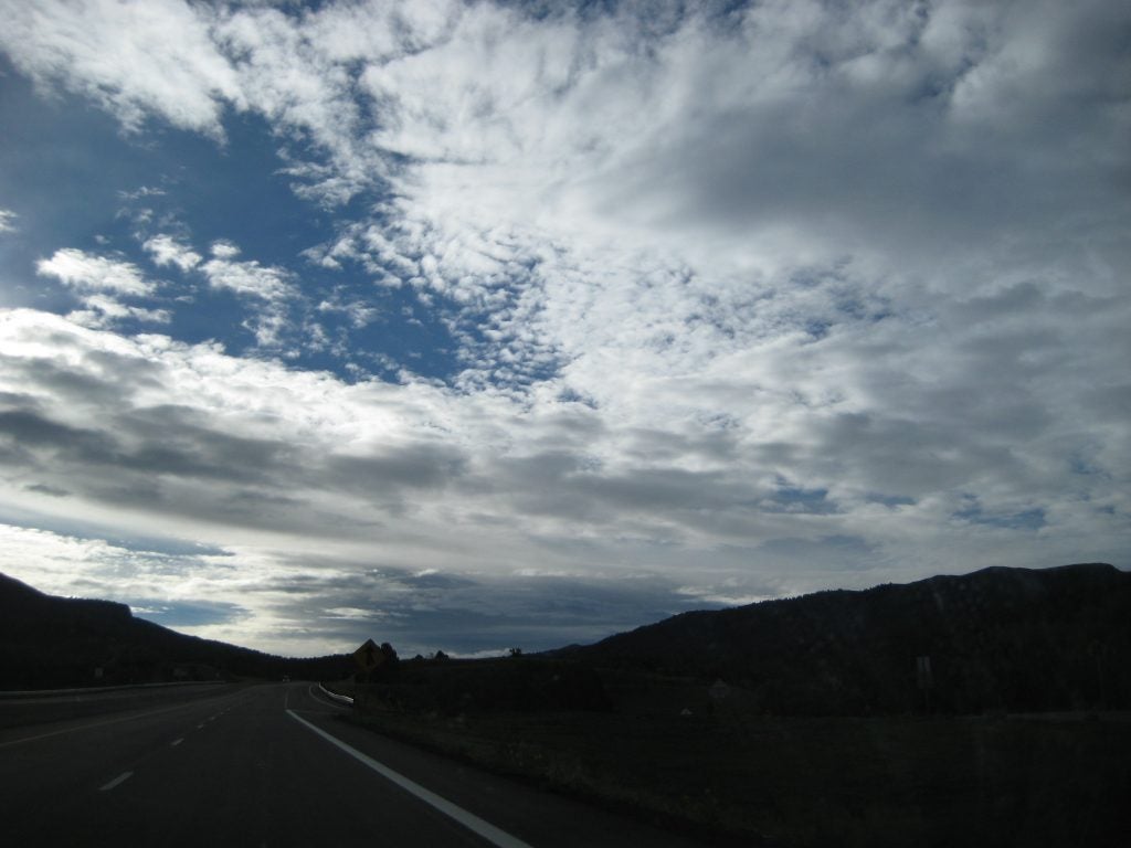
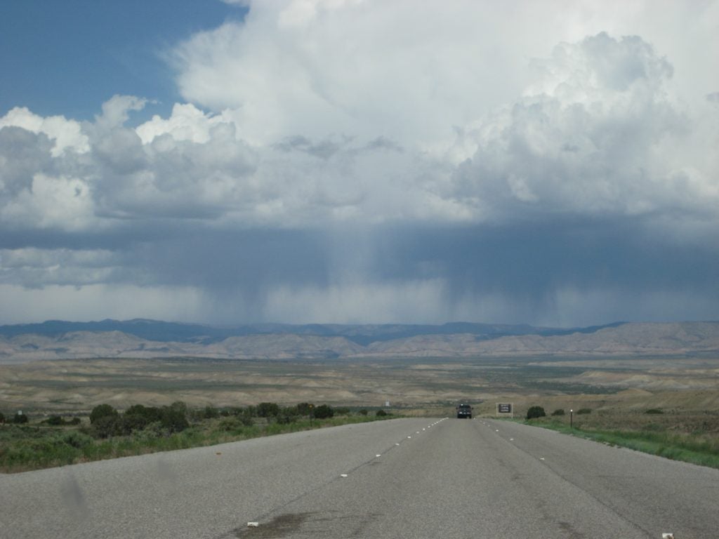
- Into NM
-
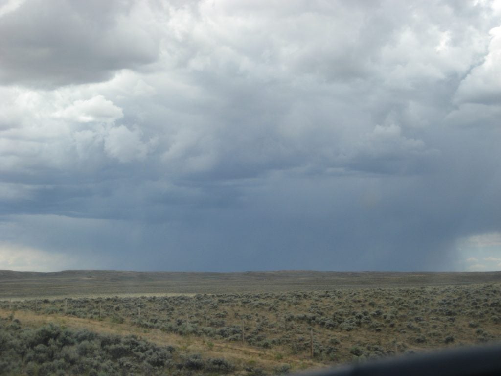
- Sage
-
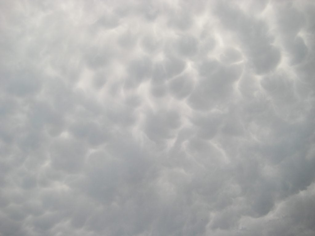
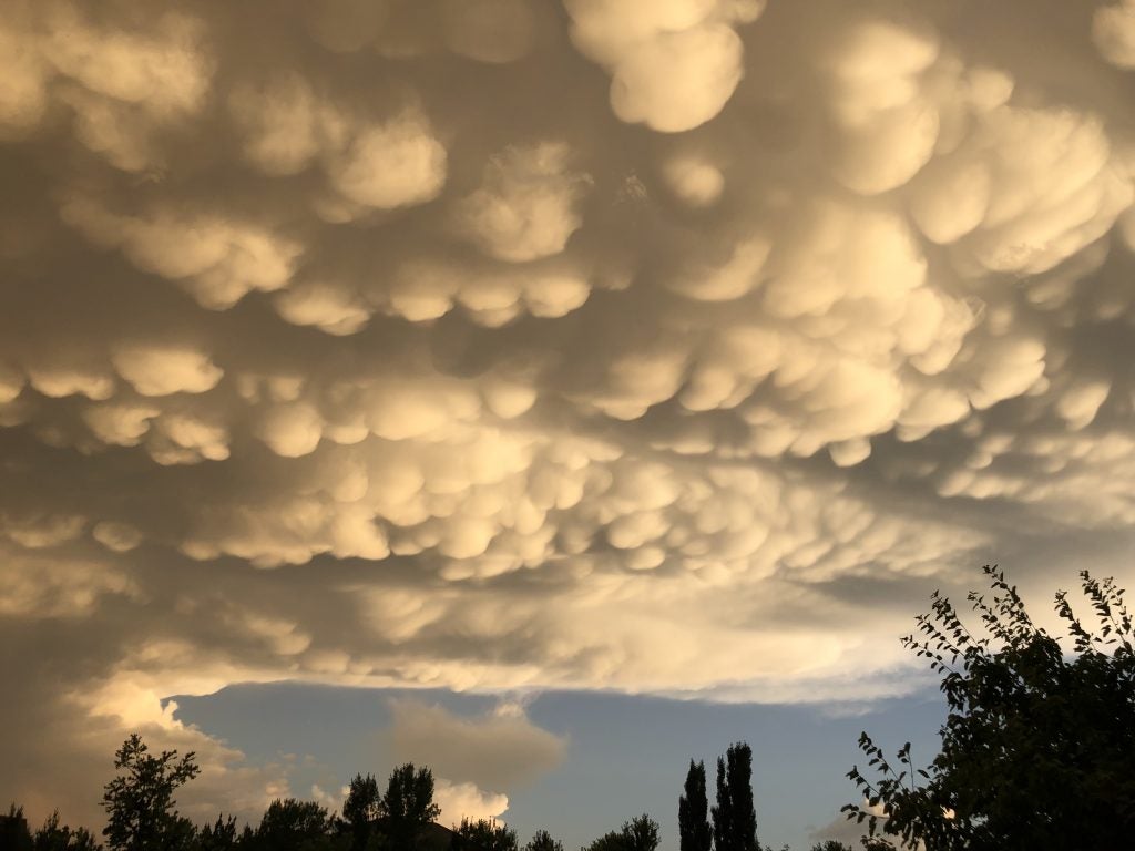
- Mammatus
-
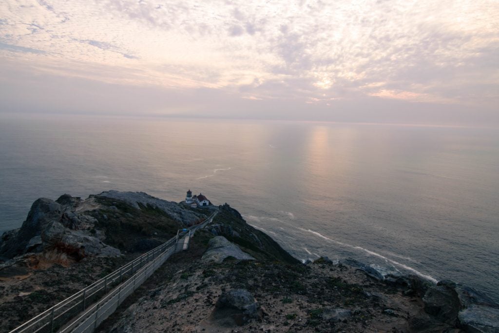
- Point Reyes Lighthouse. © Katherine Chin
-
- Doublish © Jenae Clay
-
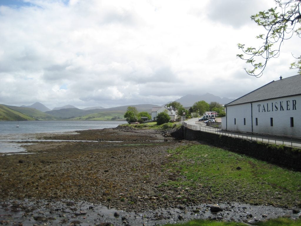
- Talisker Bay
-
- Snow Rolling Off the Front Range © John Igel
-
- Winters CA © Jenae Clay
-
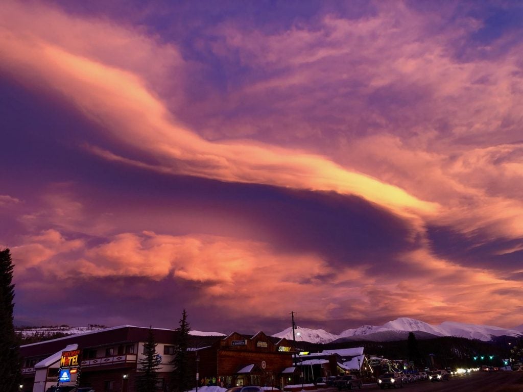
- Virga Bow
-
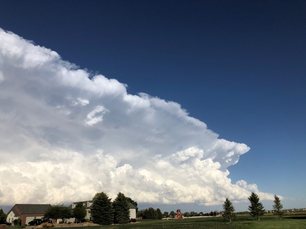
- New Cells © John Igel
-
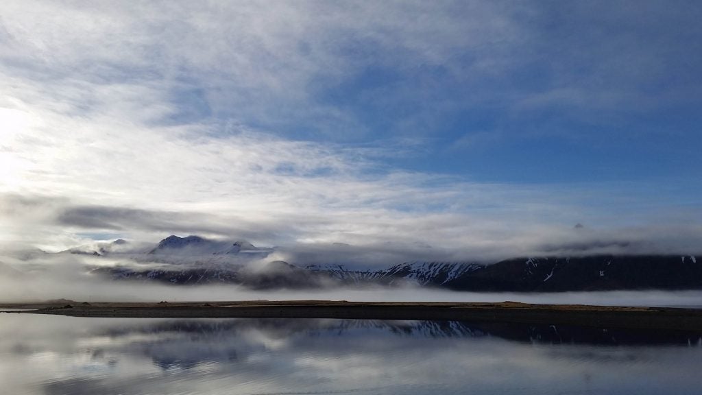
- Iceland. © Katherine Chin
-
- Sea Breeze
-
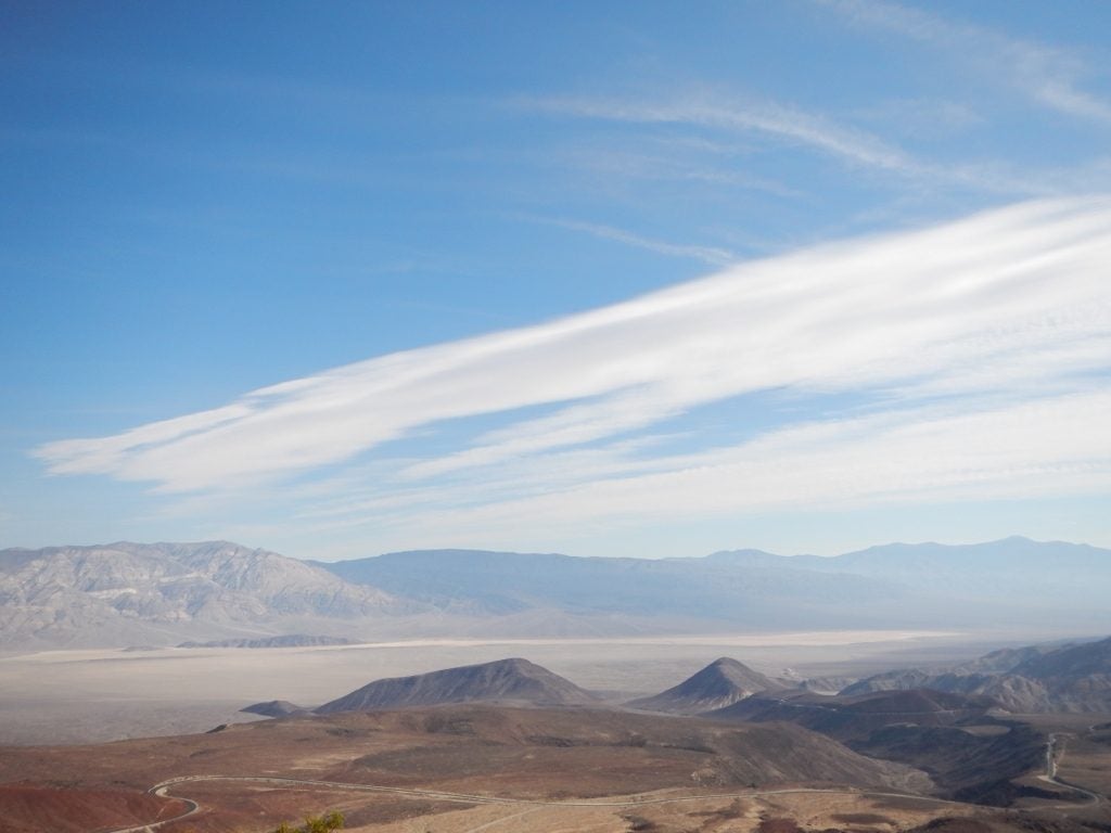
- Death Valley Cirrus © Jenae Clay
-
- Cold Convection © Kosana Suvočarev
-
- Pedestal and Anvil Mammatus © John Igel
-
- Mt Baker Fog © John Igel
-
- Pancakes
-
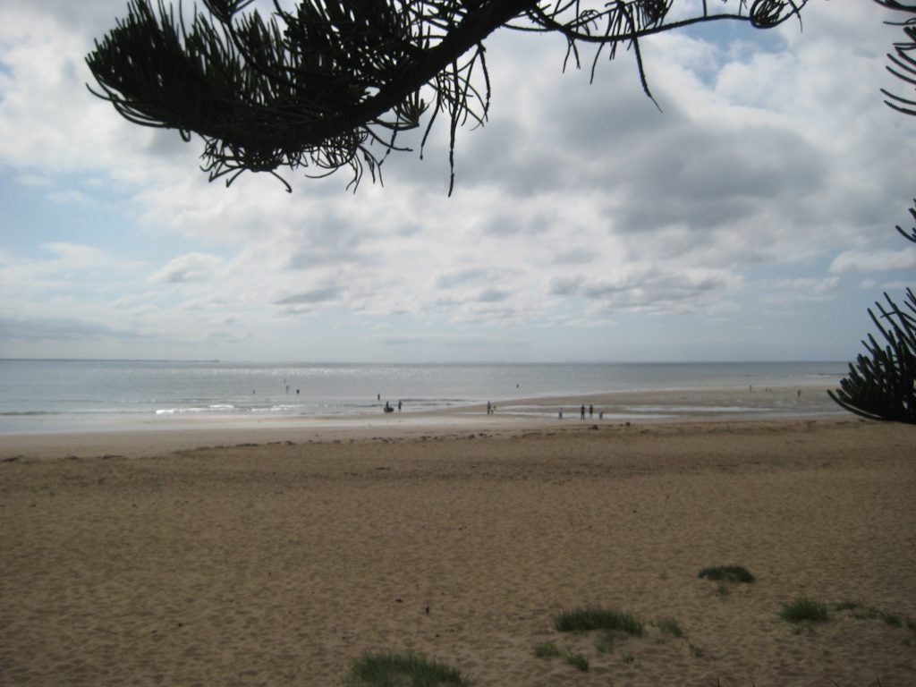
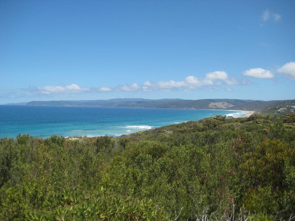
- Australian Beach
-
- Deception Pass Stratus © John Igel
-
- Tornado warning. © Megan Schmiedeler.
-
- Seattle Sunset behind Olympic. © Katherine Chin
-
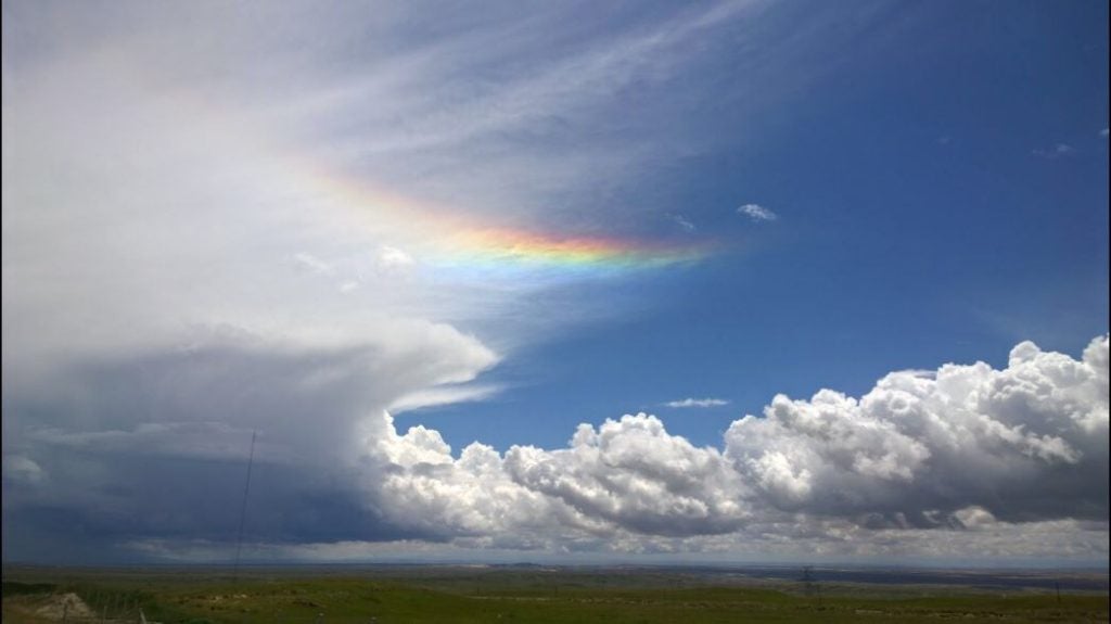
- Qinghai Bow © Lea Tong
-
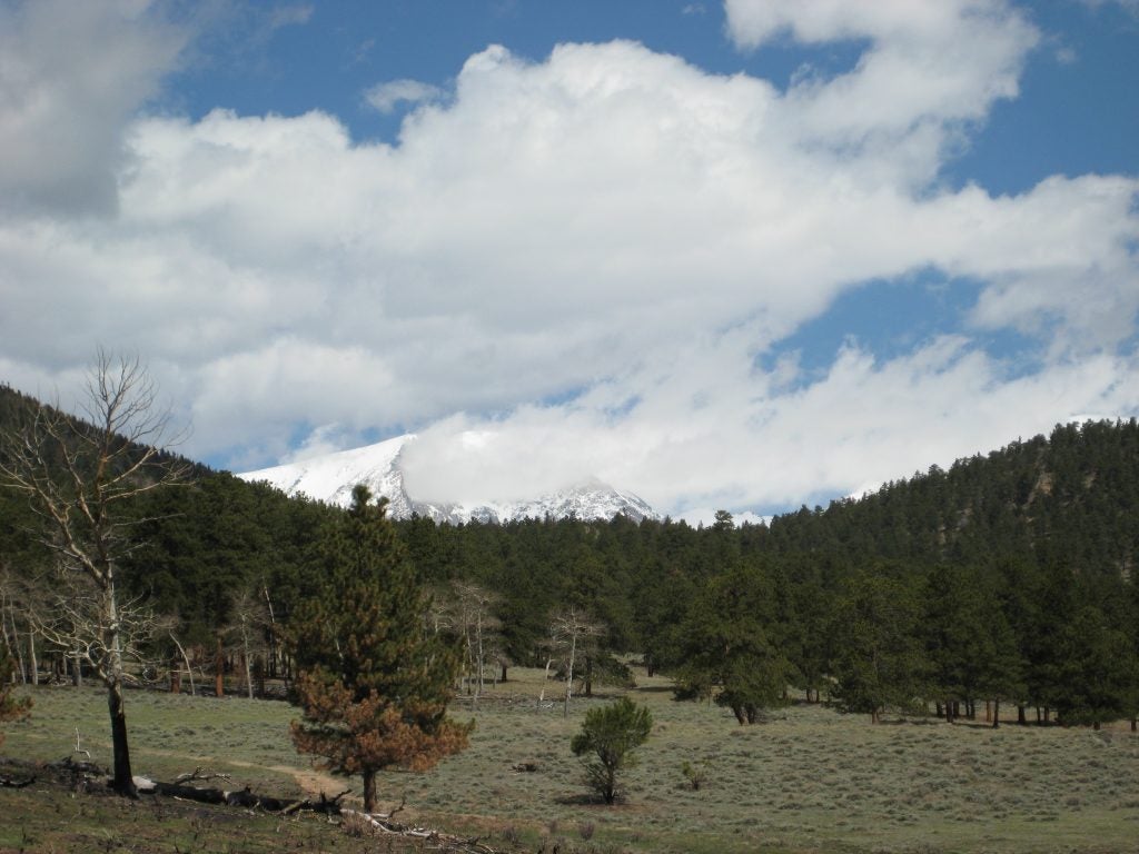
- Clouds over Mt Shasta
-
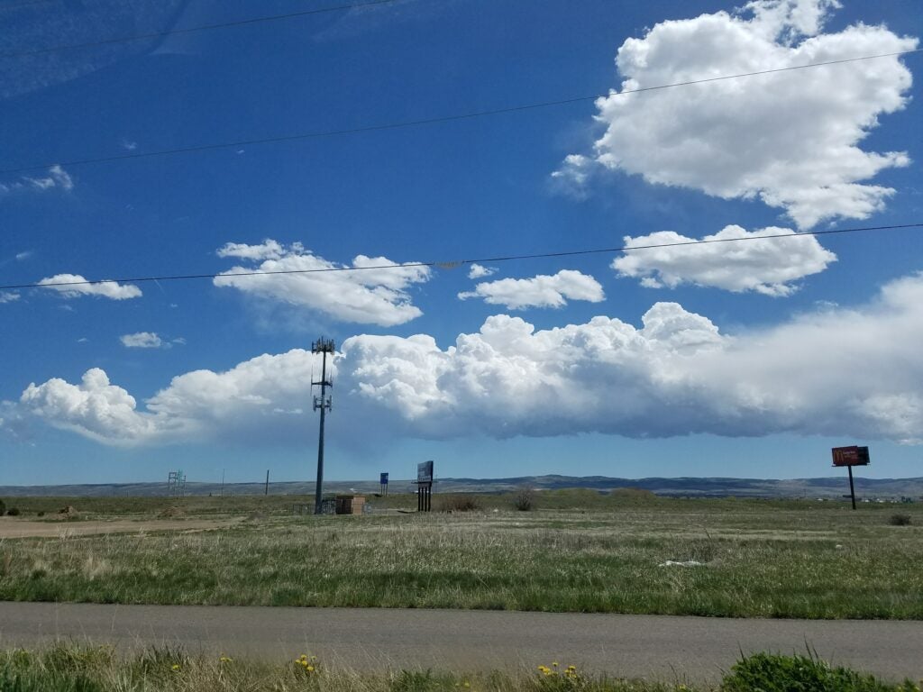
- Stacked in WY. © Jen Power.
-
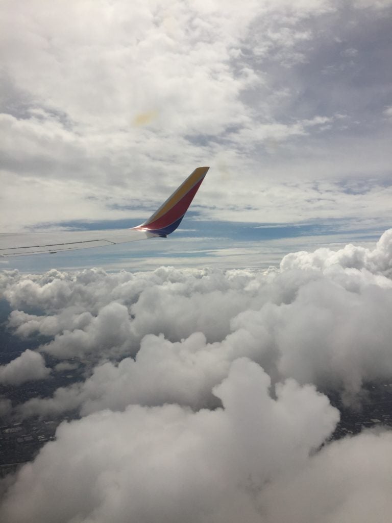
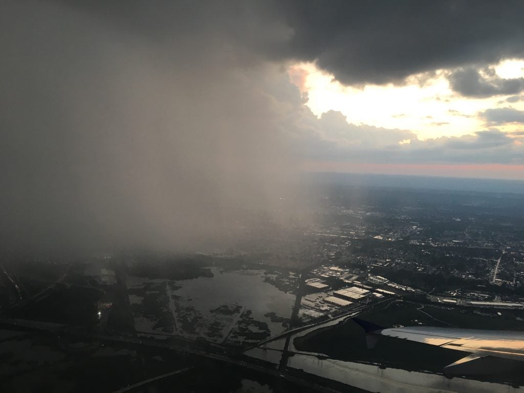
- Landing at LAX in Snow © Aryn Braun
-
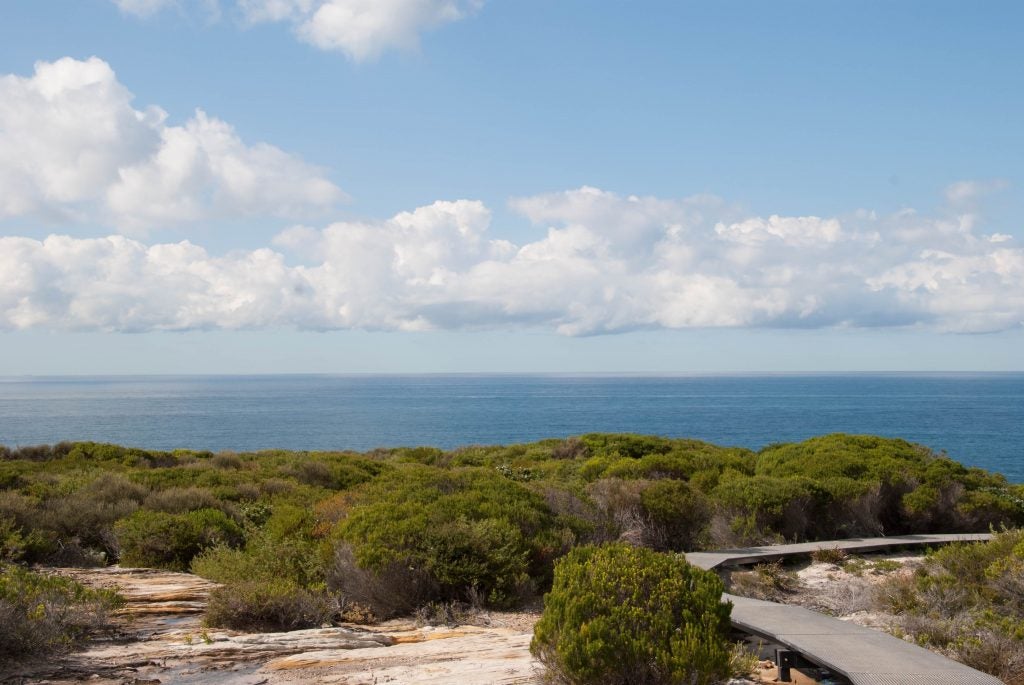
- Royal National Park, Australia. © Katherine Chin
-
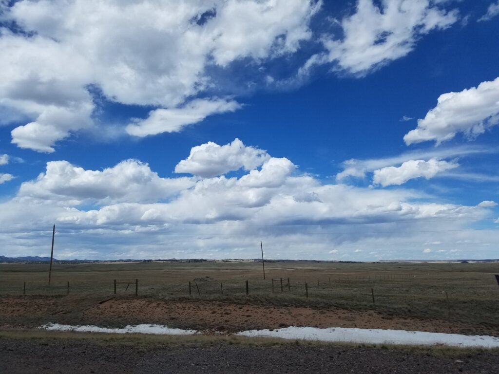
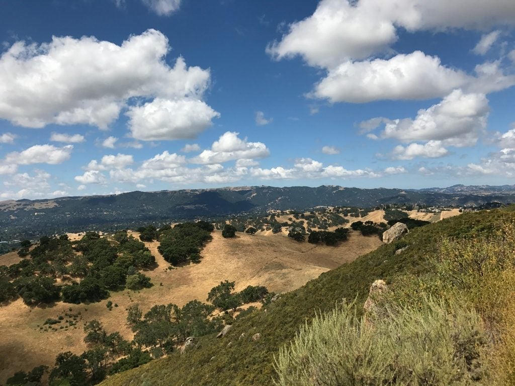
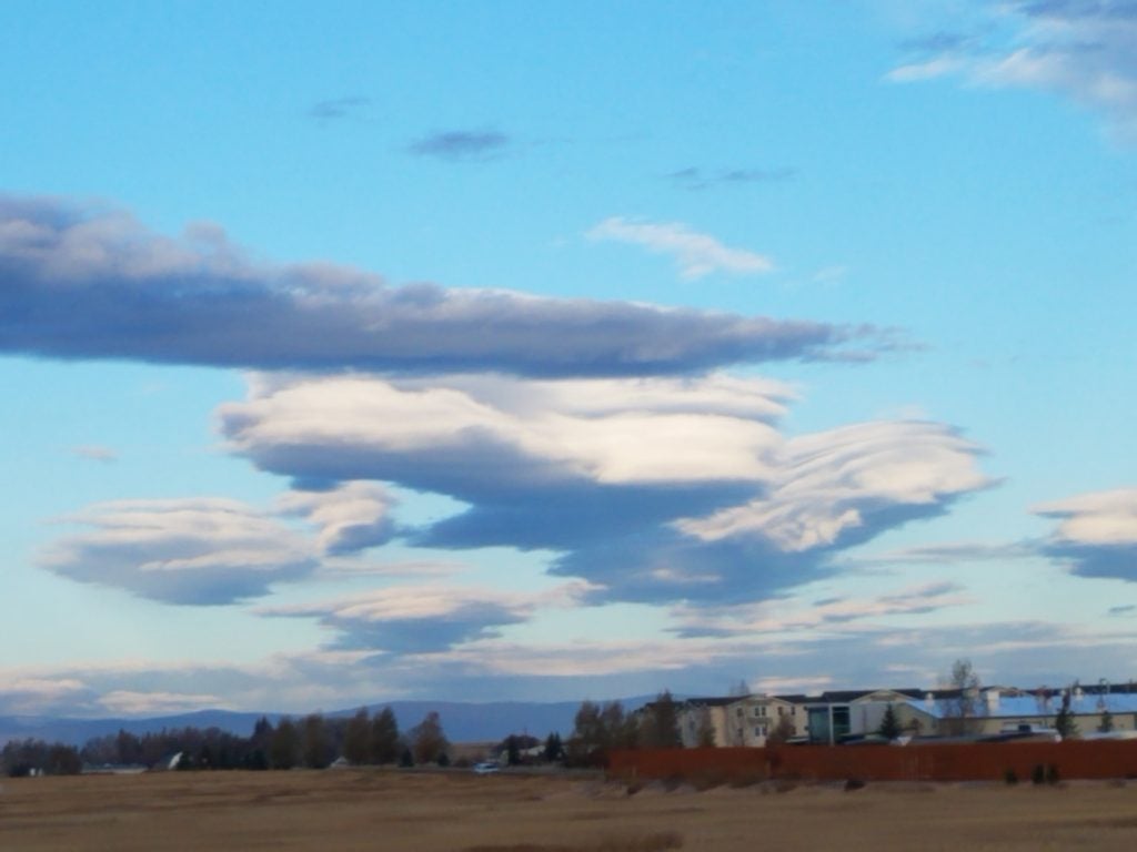
- Wyoming BL
-
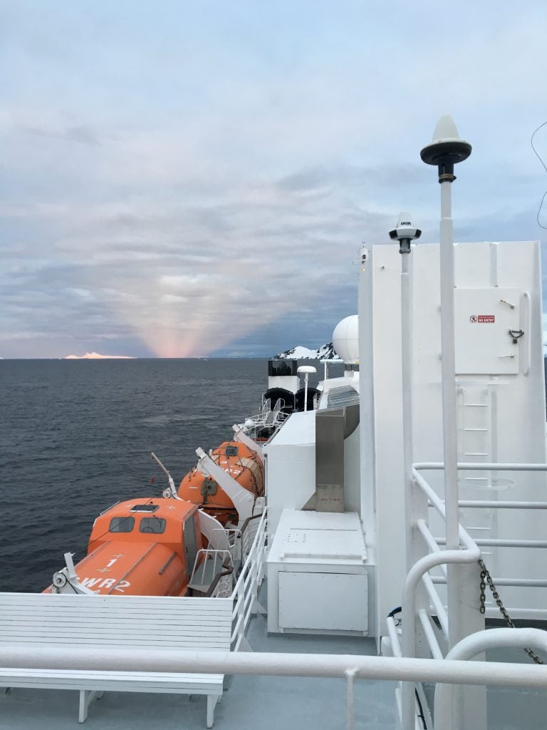
- Coastal Antarctica. © Megan Schmiedeler.
-
- Morning in Davis
-
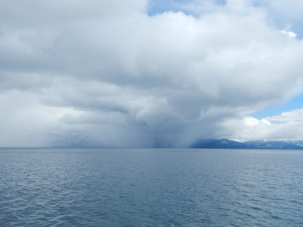
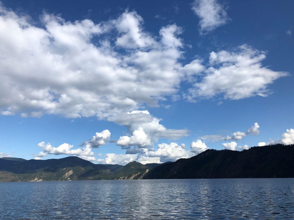
- Tahoe © Jenae Clay
-
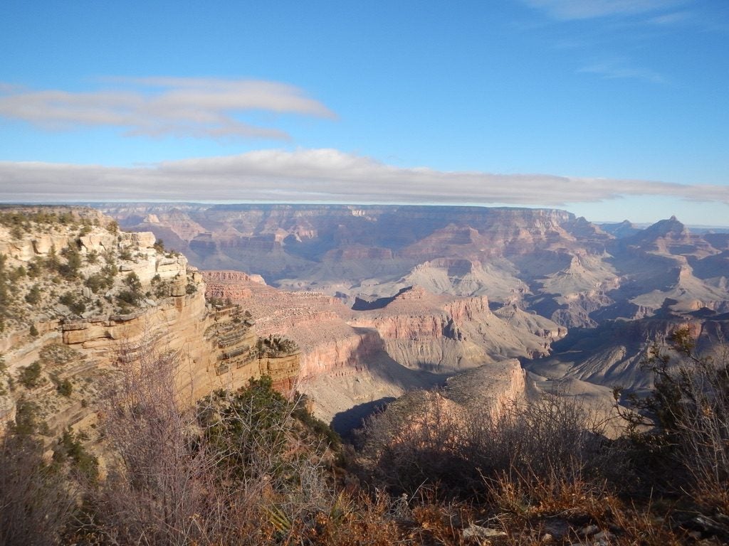
- Grand Canyon © Jenae Clay