I wanted to mention one thing about a recent paper which used the ICON general circulation model to simulate states of radiative convective equilibrium over ocean. The authors ran the model on 5 different domains of varying total area. The largest simulation was 256 times larger than the smallest. That’s an impressive range! The authors convincingly show that the domain size affects many aspects of the simulated atmosphere, but the one I want to mention is the physical morphology of the aggregated, high moisture regions (their figure 6). The larger the domain size, the more structure there is in the moisture field. I’ve done a lot of work recently on the links between total moisture and cloud behavior, and I can say that all that variation in the moisture field is critical for clouds. We convective theorists have based a lot of recent thinking about the interaction of convection with it’s environment on the results of RCE simulations, but very few people have thought about the sensitivity of these ideas and theories to basic simulation properties (like domain size or shape) on the kinds of scales these authors do. I agree with the authors that their results suggest a few new avenues of inquiry that could be rather revealing.
Month: September 2016
OK, here goes a first post. I thought I would start off by talking a little bit about a recent paper on which I was a coauthor. The paper can be found here: Ubiquity and impact of thin mid-level clouds in the tropics. In this paper as part of his graduate work at Stockholm University, lead author Quentin Bourgeois used the CALIPSO lidar to look for a predominantly overlooked cloud type in the tropical convective atmosphere: optically and physically thin clouds above the freezing level but below the peak outflow layer from deep convection. Quentin found that clouds meeting these criteria were surprisingly common in the tropics both over ocean and over land. I think there are two main takeaways here. The first is that the cloud population in the tropics is much more complex than we often give it credit for. Because these thin clouds do not rain, they don’t show up on radar, and because of their ethereal nature, they are difficult to simulate. This has made them easy to overlook. The second is that simple methodologies, like the one employed in this paper, can be incredibly powerful. We learned a lot about these clouds without obscuring what we were examining.
Welcome to Faculty Network Sites. This is your first post. Edit or delete it, then start blogging!
UC Davis Cloud Library
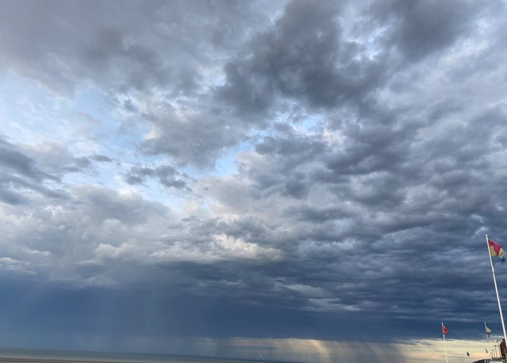
-
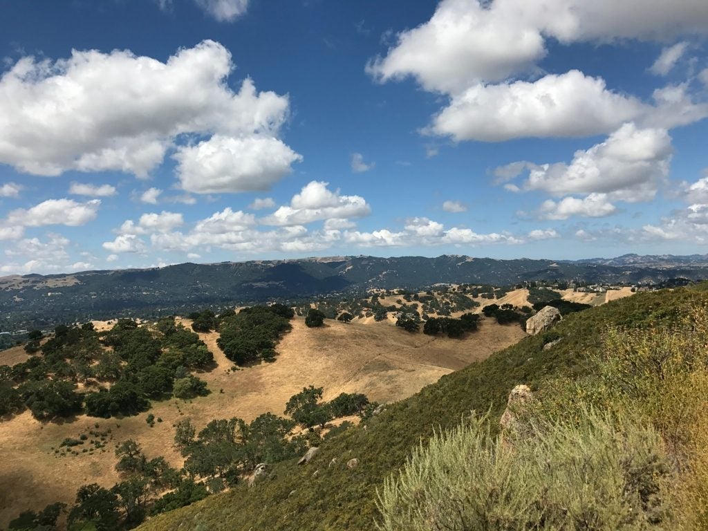
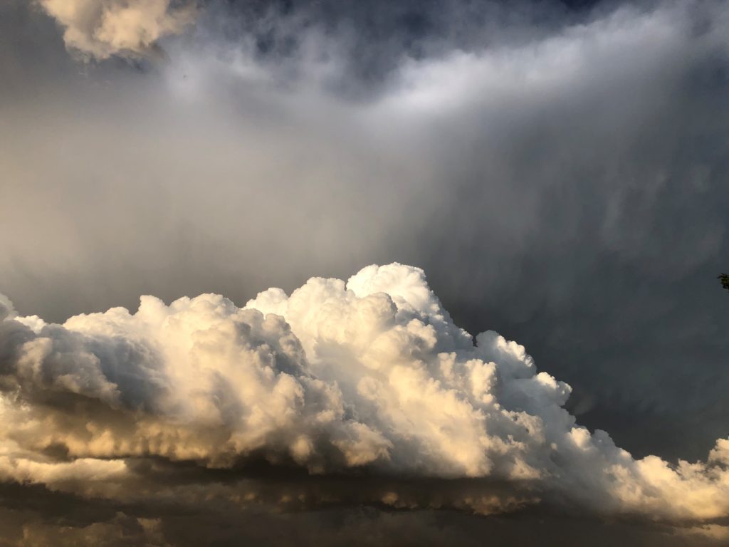
- Mt Diablo © Jenae Clay
-
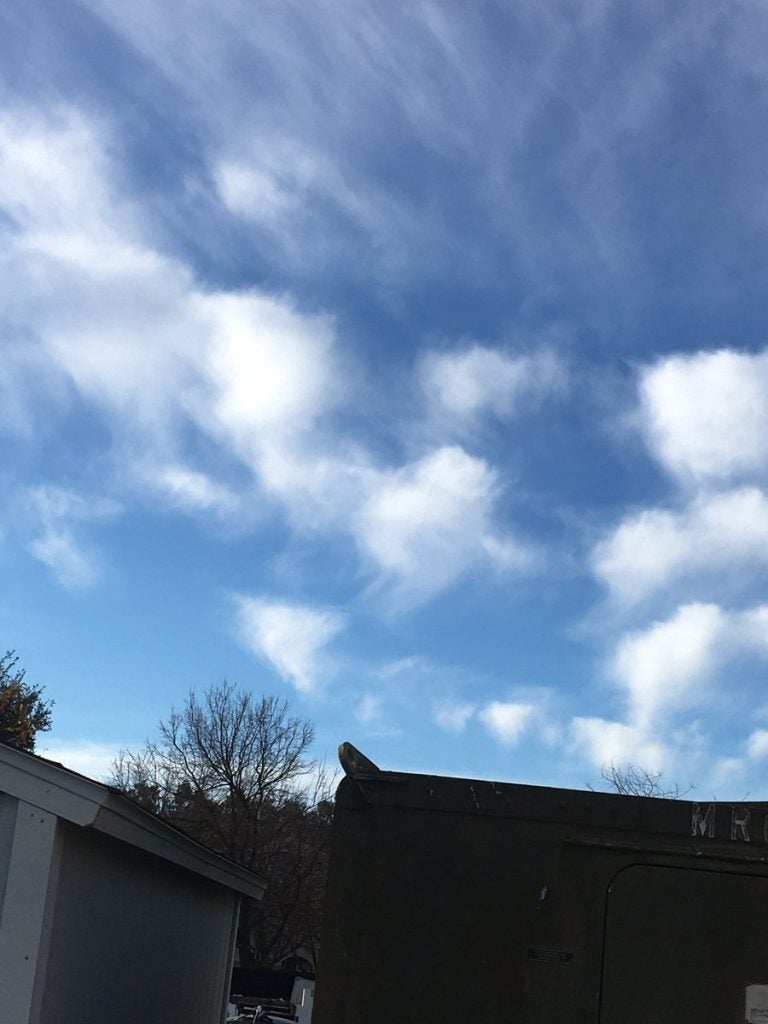
- Midlevel Virga © Alexis Clouser
-
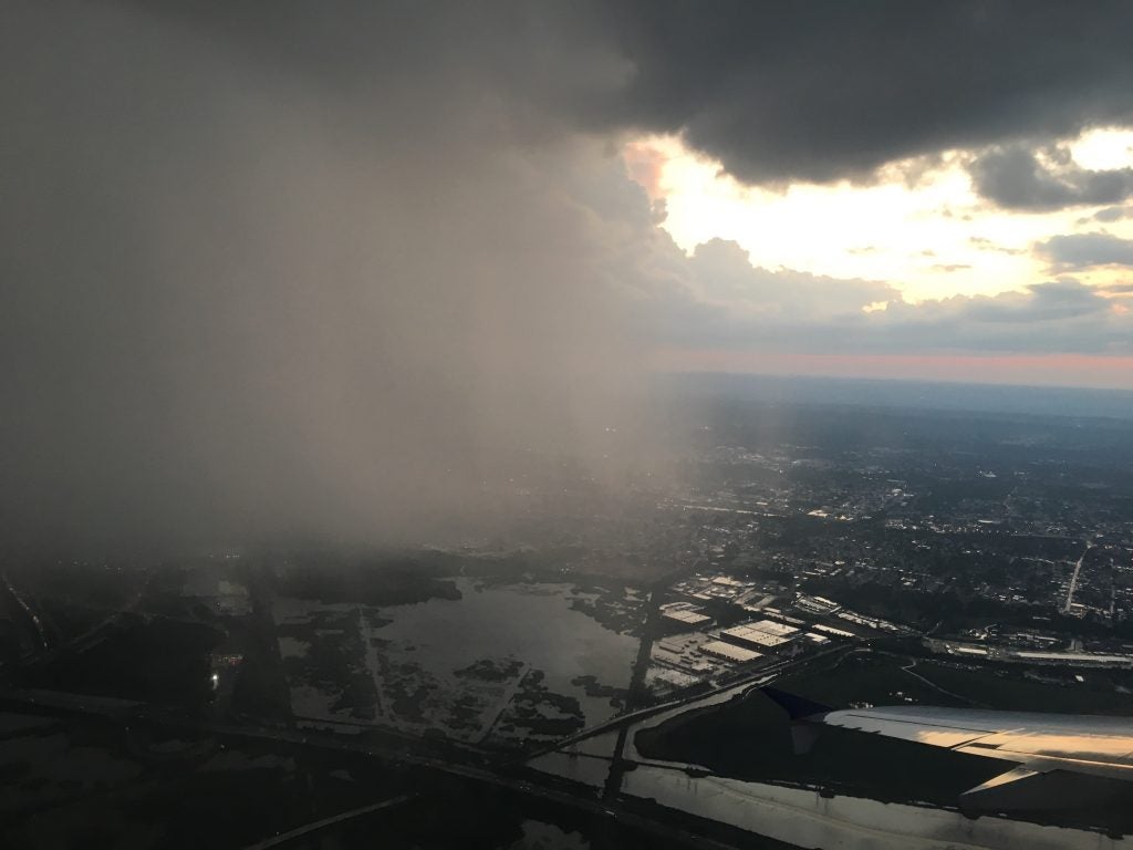
- NJ Downpour © Lea Tong
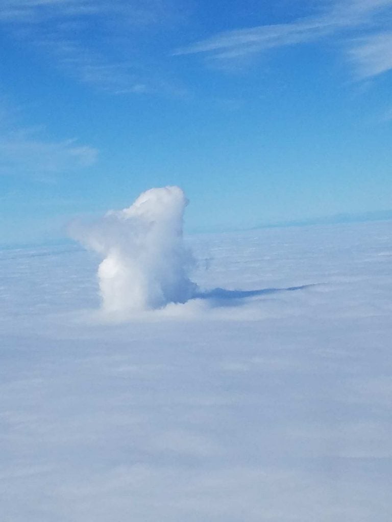
-
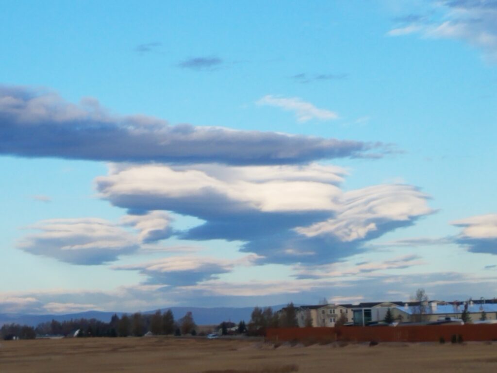
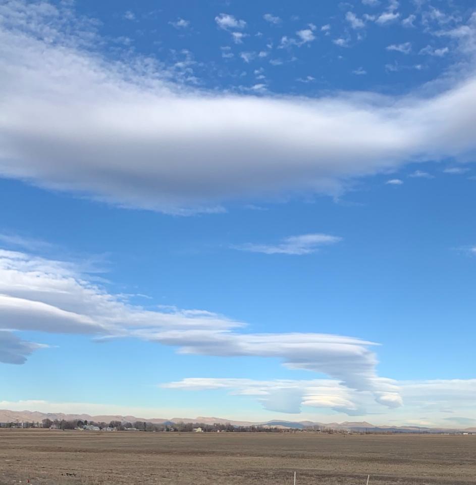
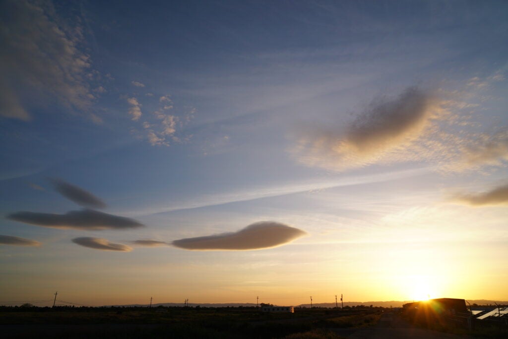
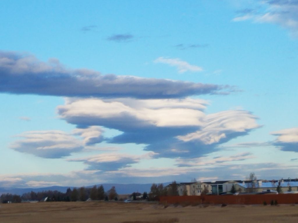
- Fuzzy Lenticulars
-
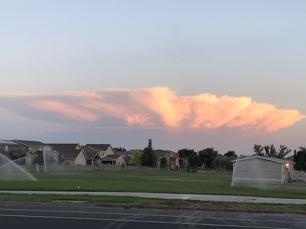
- Stormin’ Norman…dy © Lucas Sterzinger
-
- Doublish © Jenae Clay
-
- Power plant plume. © Jen Power.
-
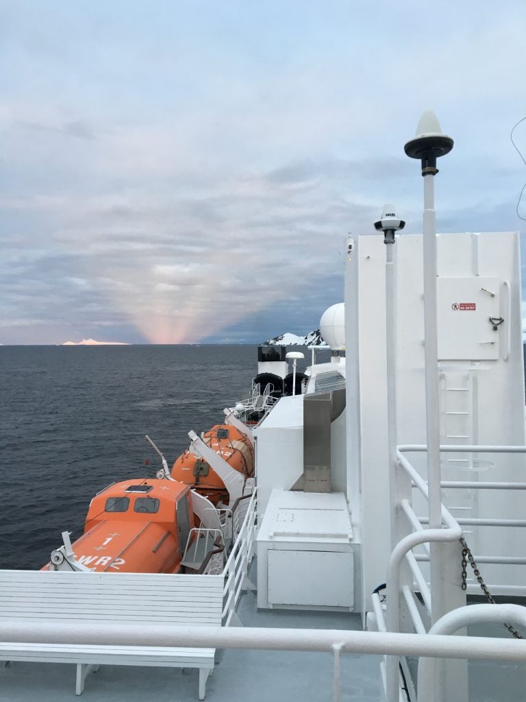
- Coastal Antarctica. © Megan Schmiedeler.
-
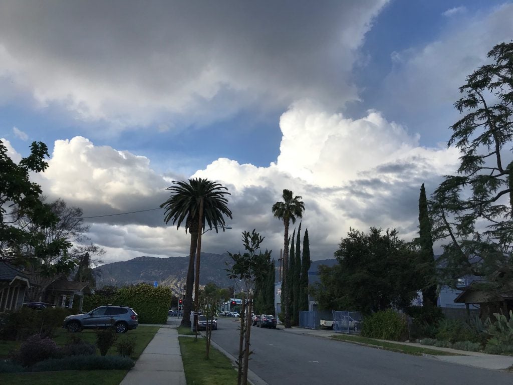
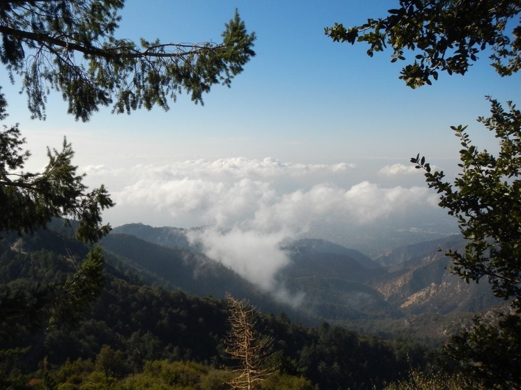
- Pasadena Spring © Rachel Storer
-
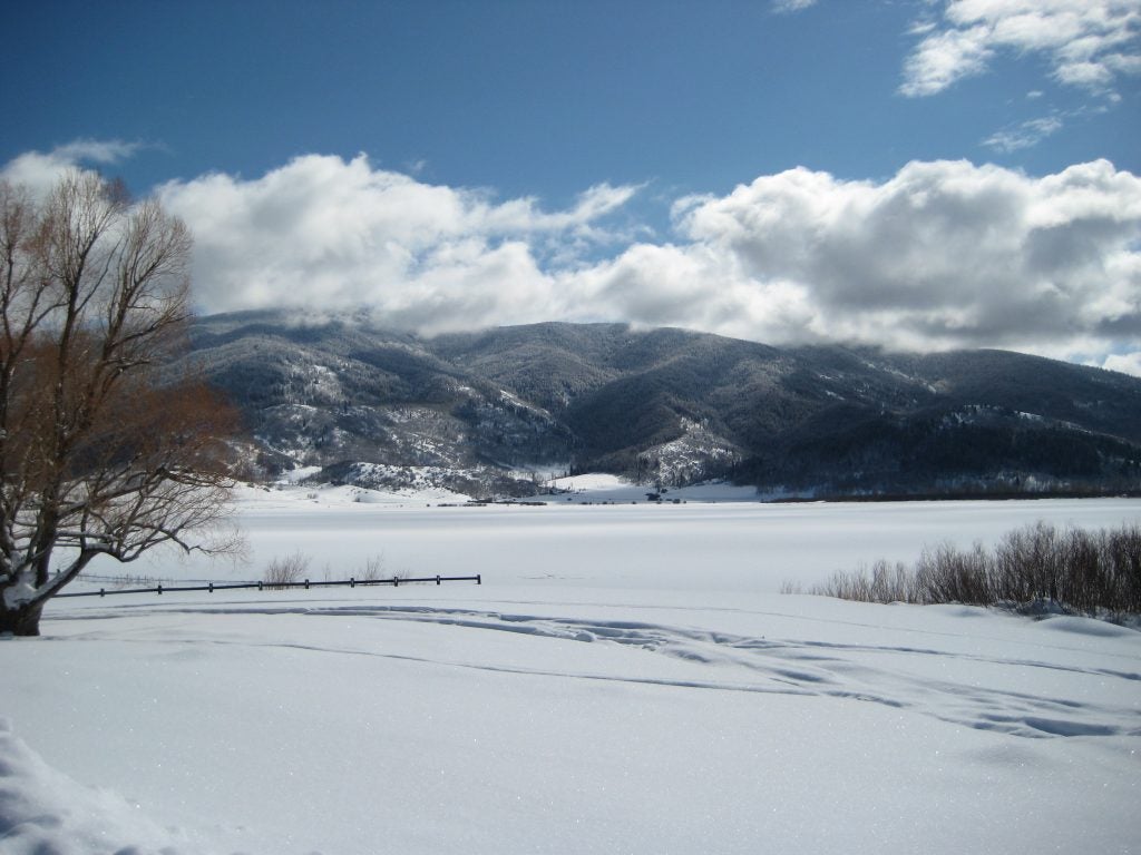
- Steamboat Springs
-
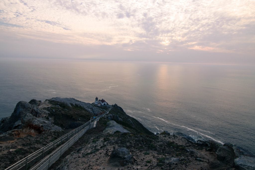
- Point Reyes Lighthouse. © Katherine Chin
-
- Cirro-Cu?
-
- Outflow like Woah © John Igel.
-
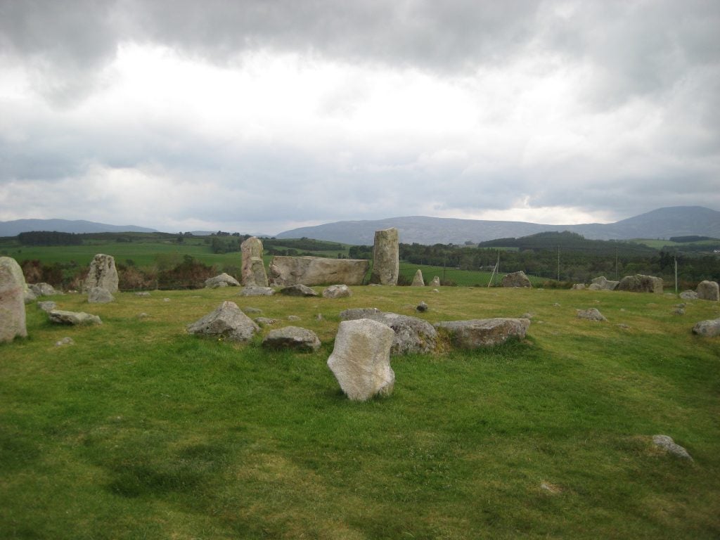
- Stone Circle
-
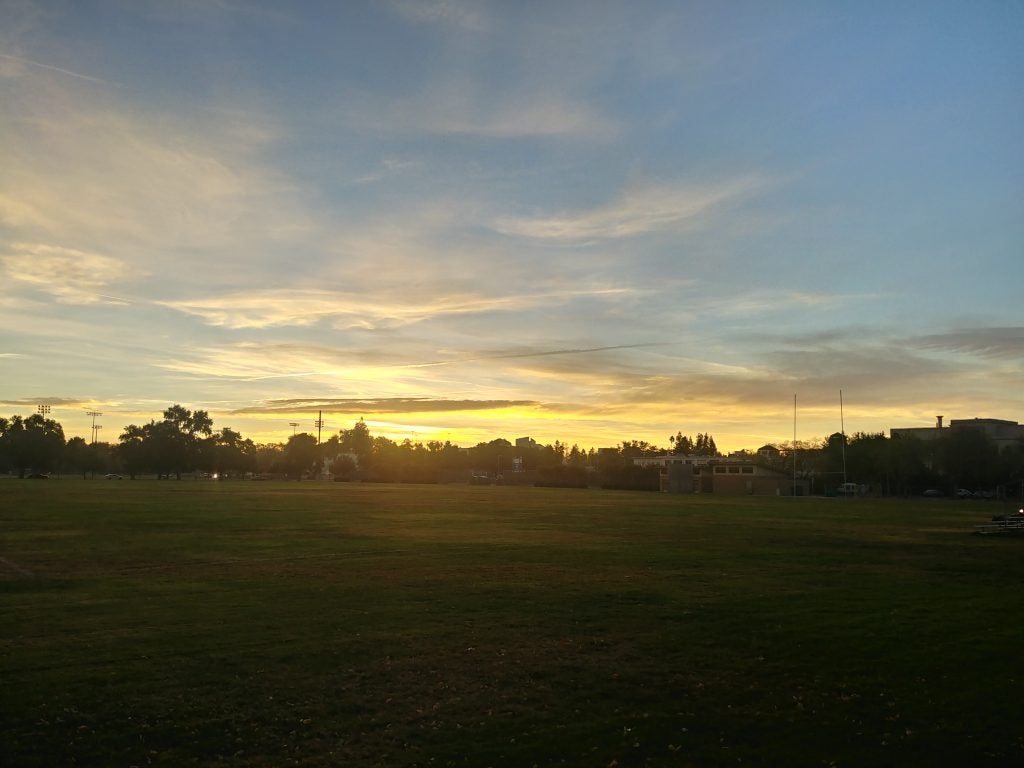
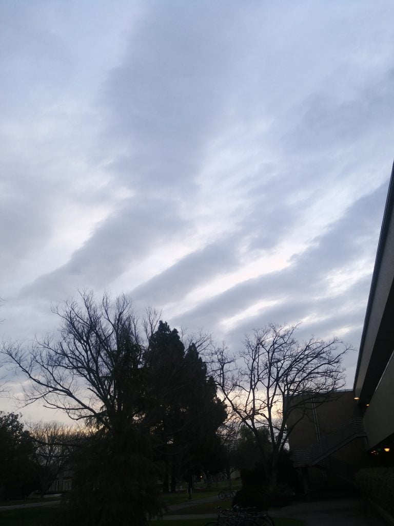
- Morning in Davis
-
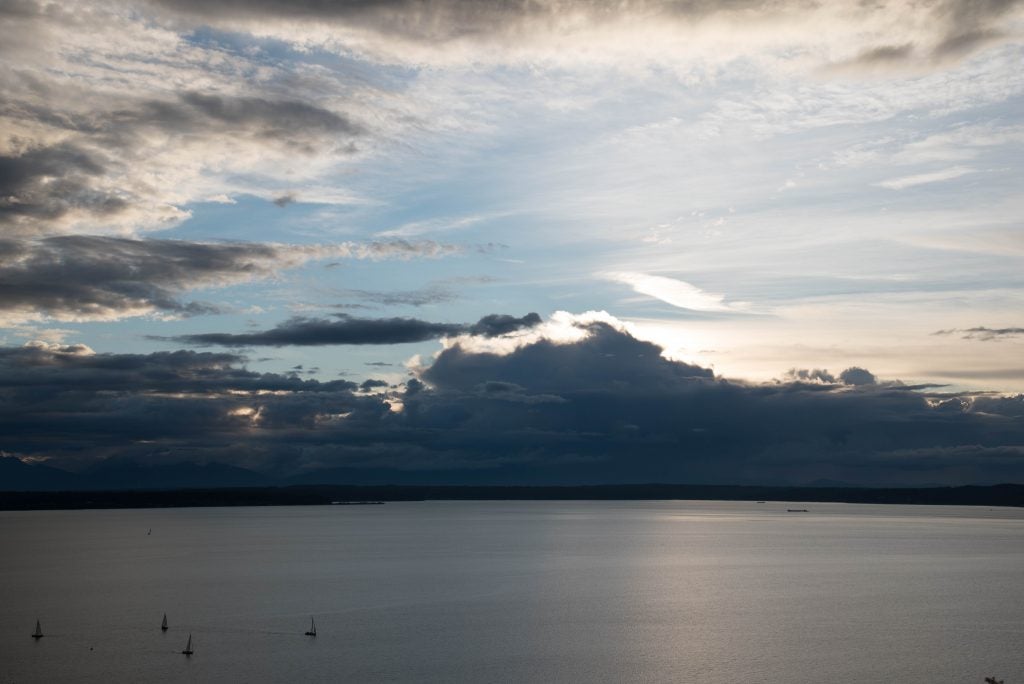
- Seattle Sunset behind Olympic. © Katherine Chin
-
- Virga Bow
-
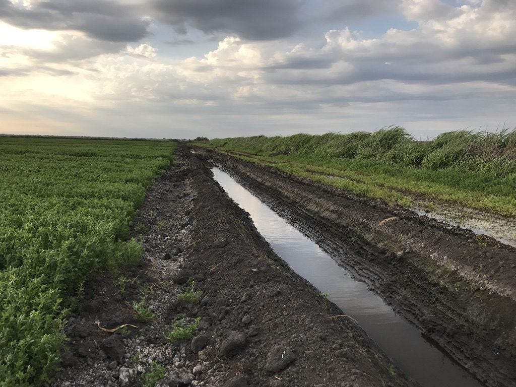
- Drainage © Jenae Clay
-
- Smoke over Davis
-
- Sunrise in Windsor © John Igel
-

- Puffy in WY. © Jen Power.
-
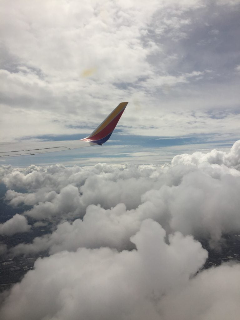
- Landing at LAX in Snow © Aryn Braun
-
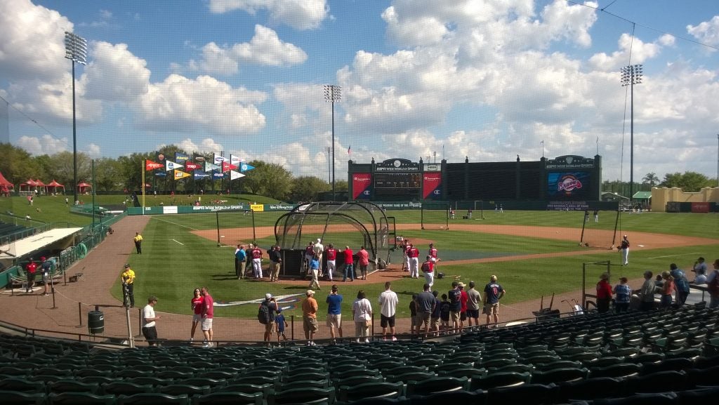
- Grapefruit League Clouds
-
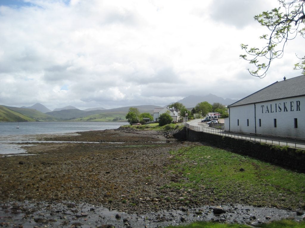
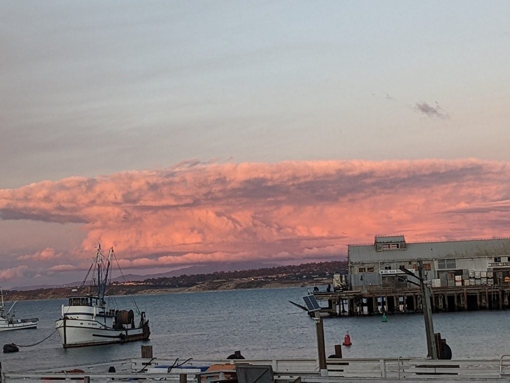
- Talisker Bay
-
- Winters CA © Jenae Clay
-
- Pancakes
-
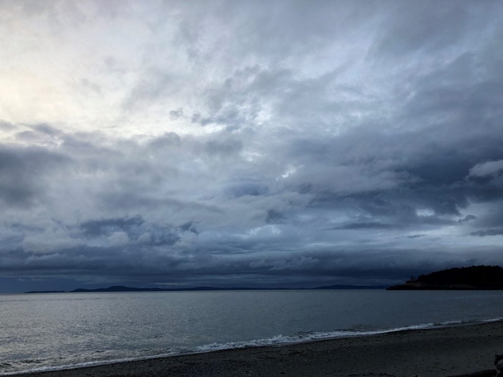
- Deception Pass Stratus © John Igel
-
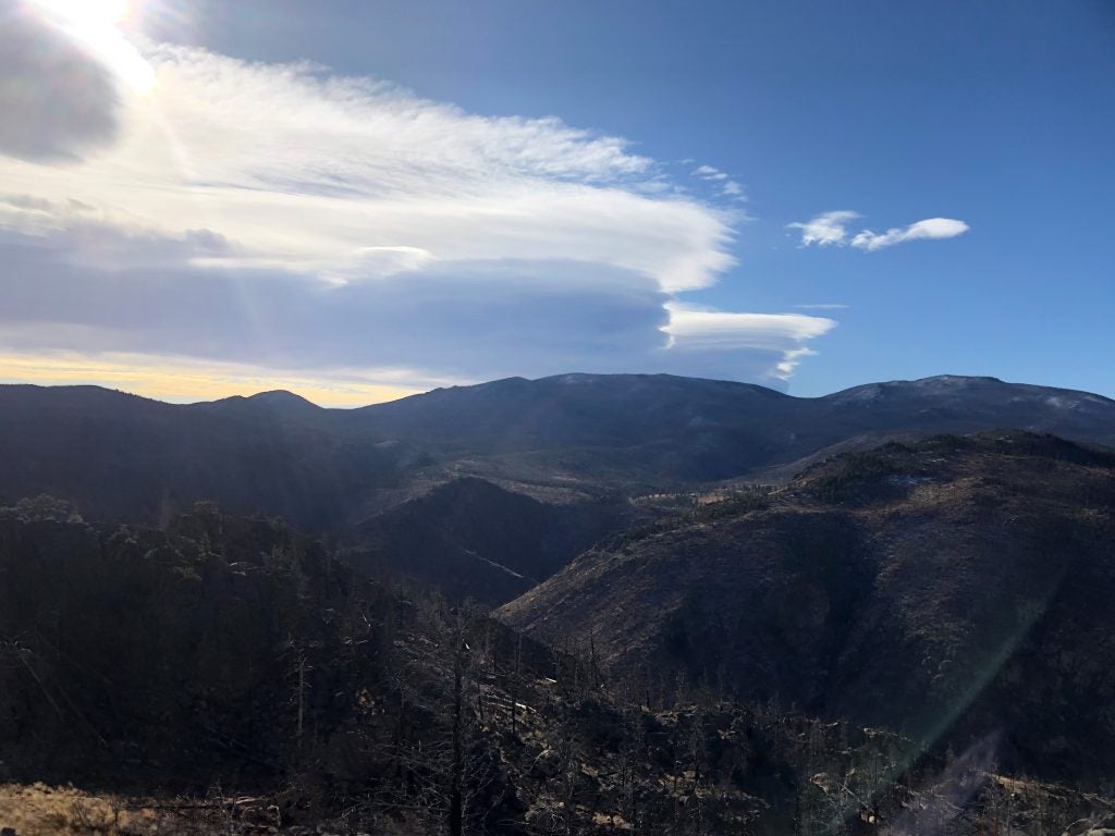
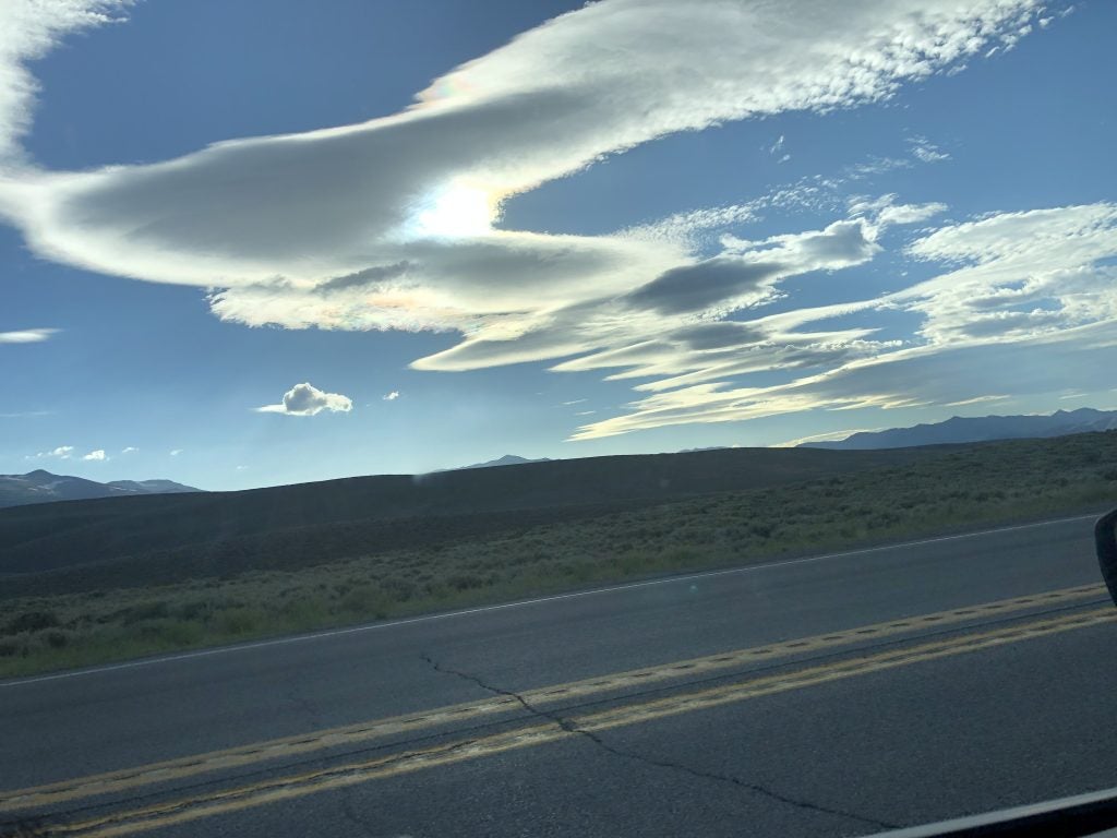
- Valley Lenticulars. © Lewin Bormann
-
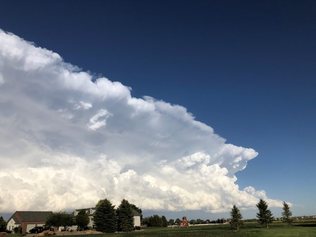
- Supercell over Davis © Ameya Naik
-
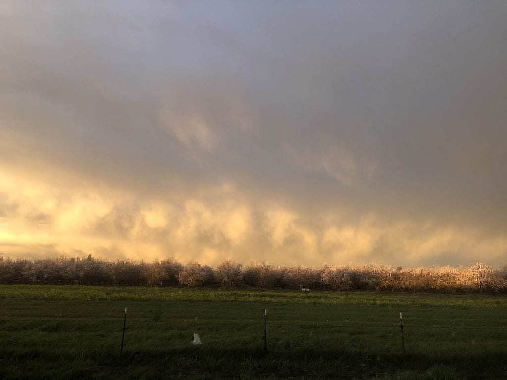
- Almonds and Graupel © Kosana Suvočarev
-
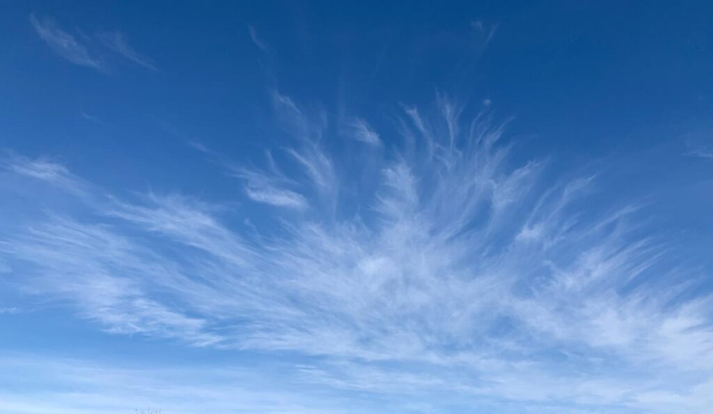
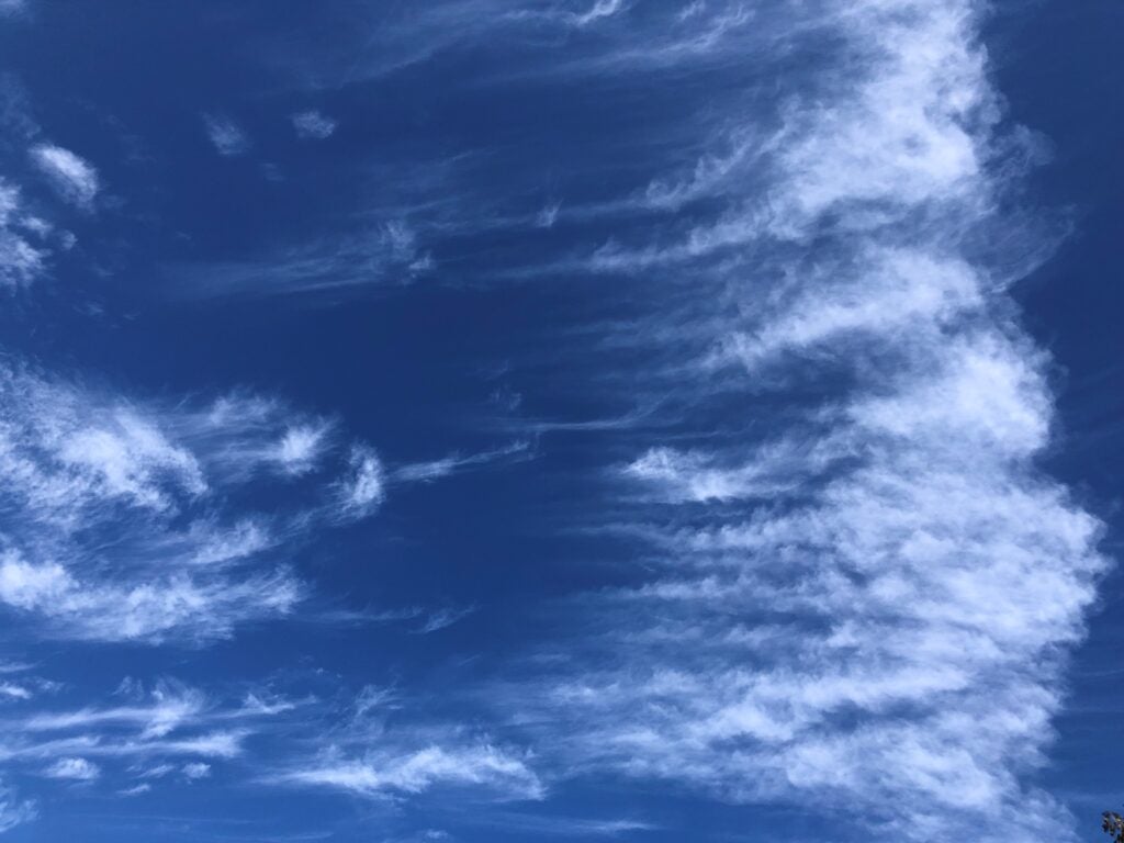
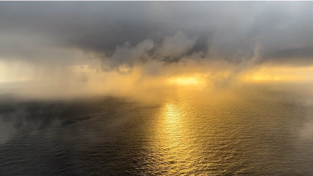
- Mare’s Tail
-
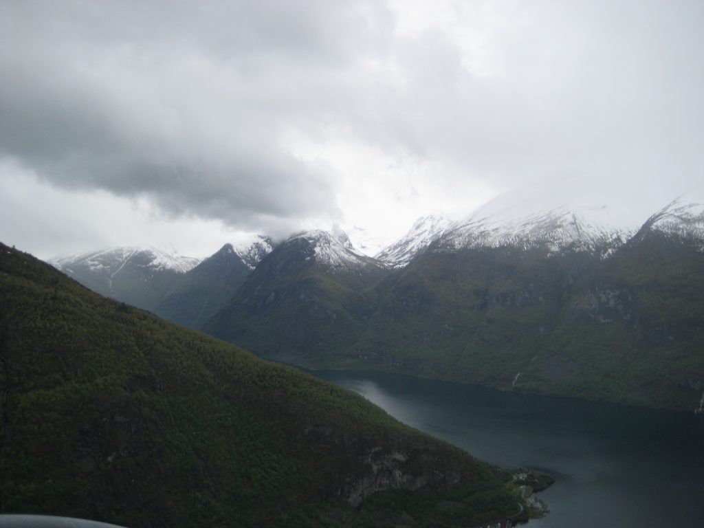
- Norwegian Fjord
-

- Davis Hail © Ameya Naik
-
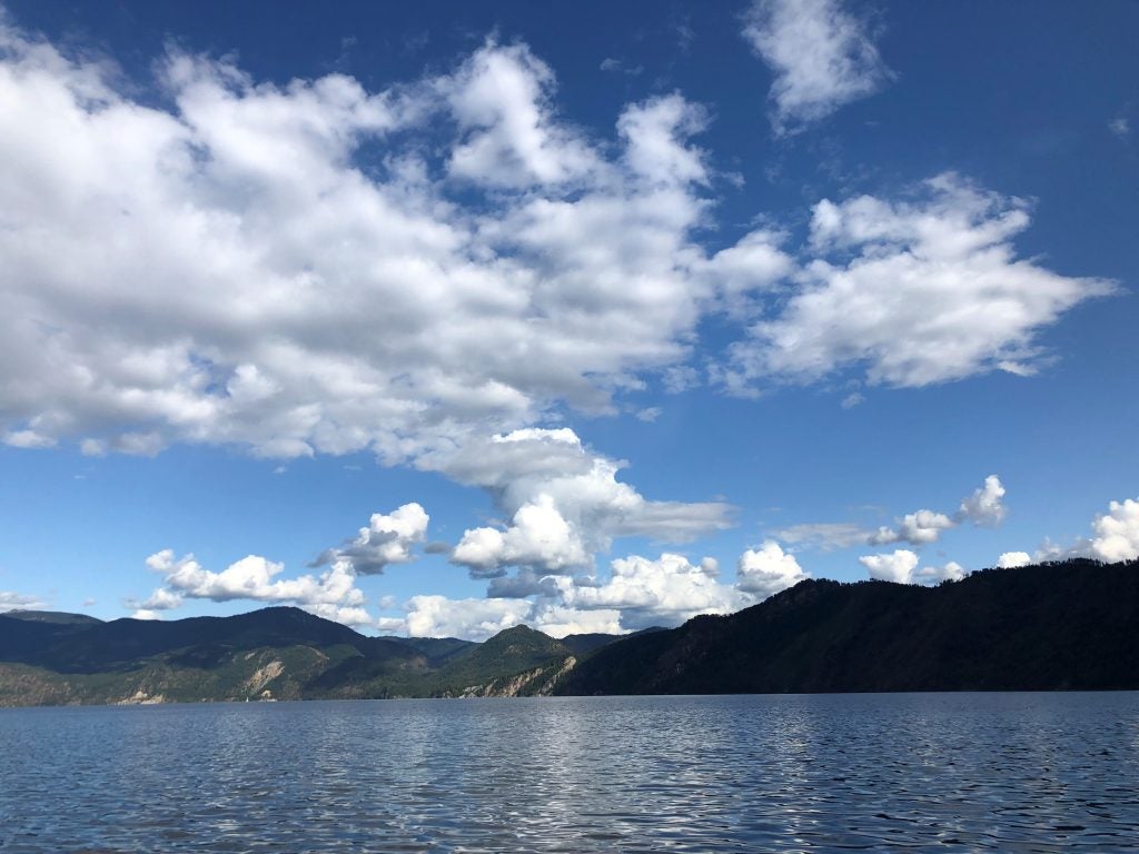
- Lake Pend Cumulus © John Igel
-
- Cold Pool Cap © John Igel
-
- New Cells © John Igel
-
- Multi-Layer © Jillian Olivar
-
- Medium Cb from Monterey © Alexis Clouser
-
- Cold Convection © Kosana Suvočarev
-
- Into NM
-
- Tornado warning. © Megan Schmiedeler.
-
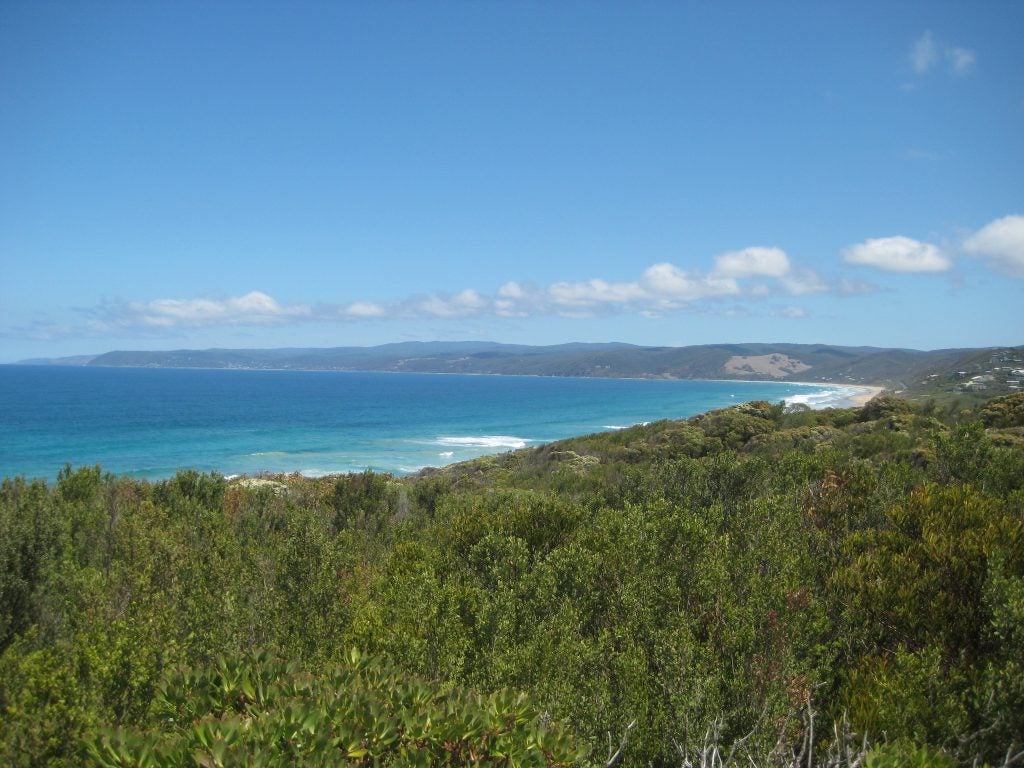
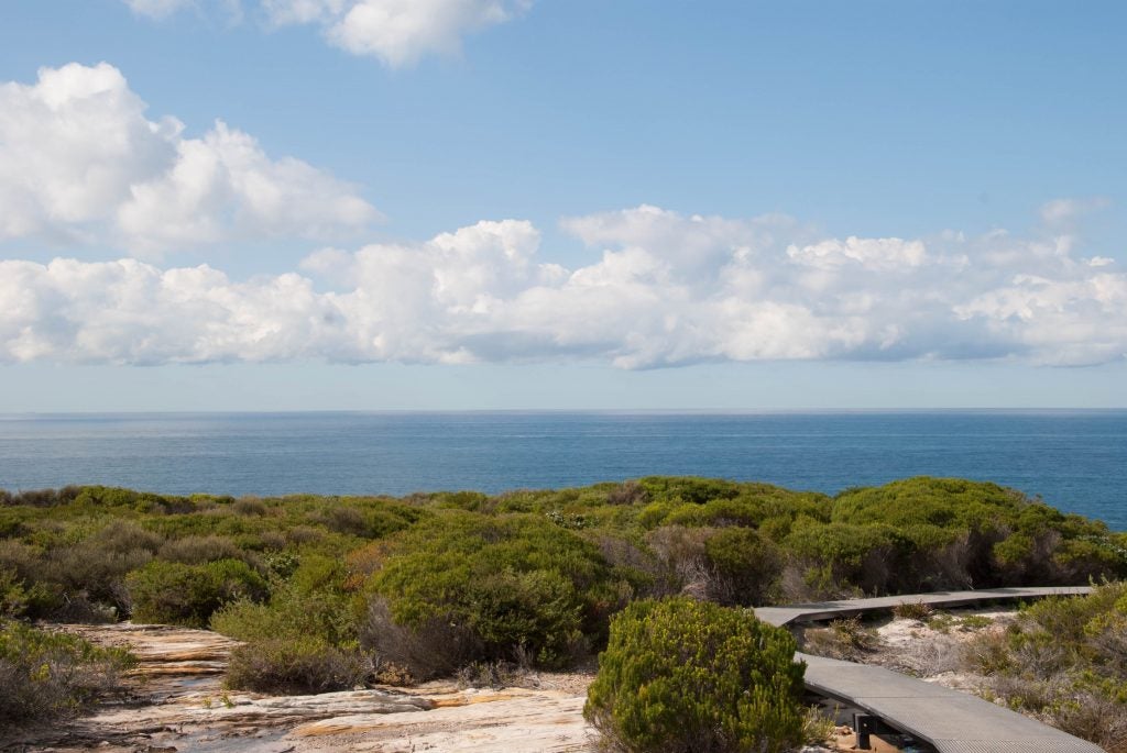
- Australian Beach
-
- Clouds over Mt Shasta
-
- Sea Breeze
-
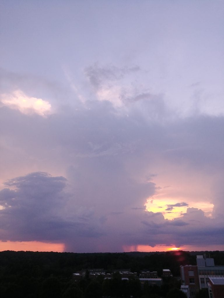
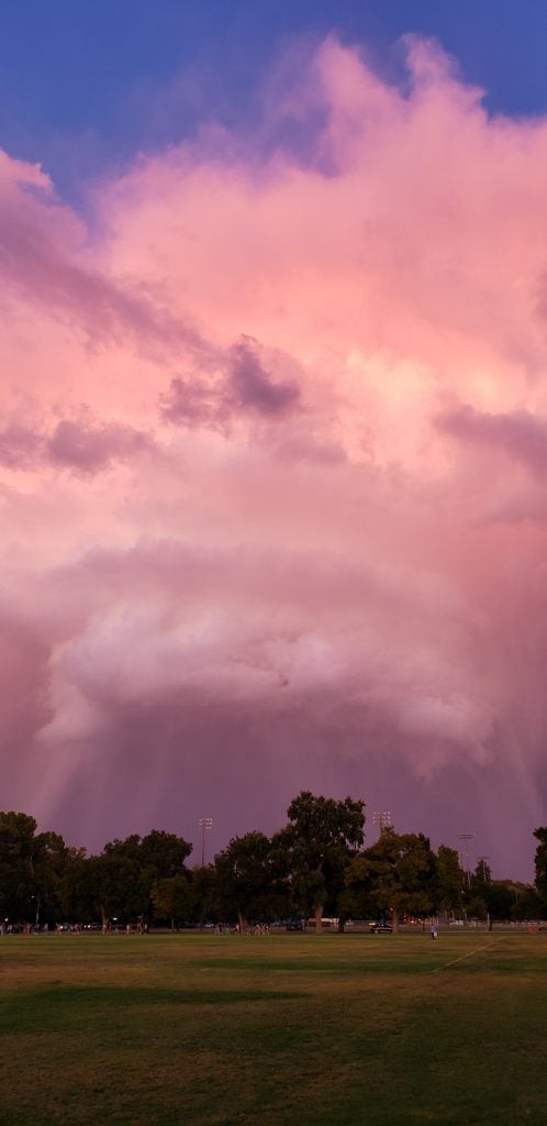
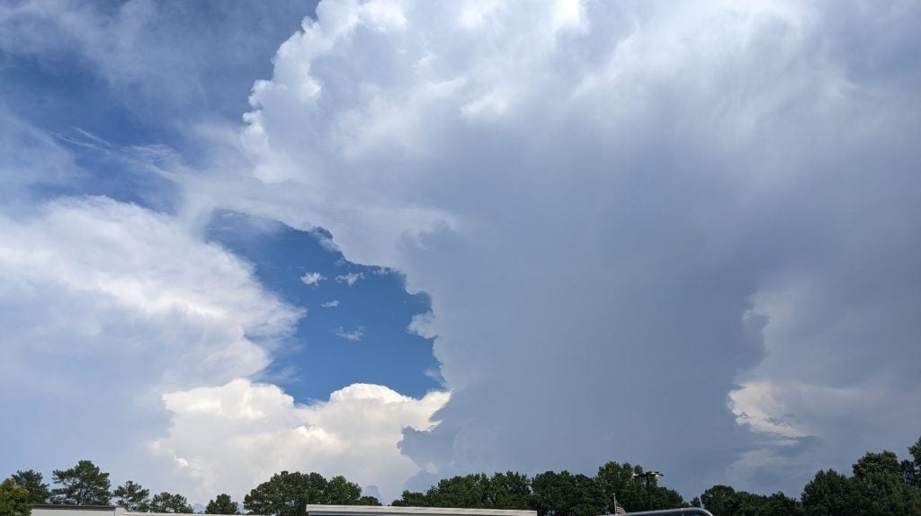
- Raleigh Storm
-
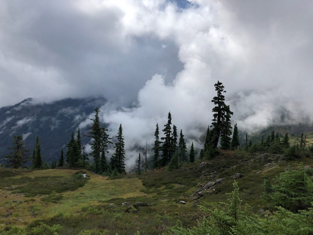
- Mt Baker Fog © John Igel
-
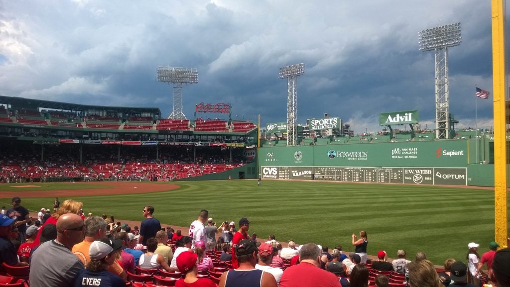
- Clouds over the Green Monster
-
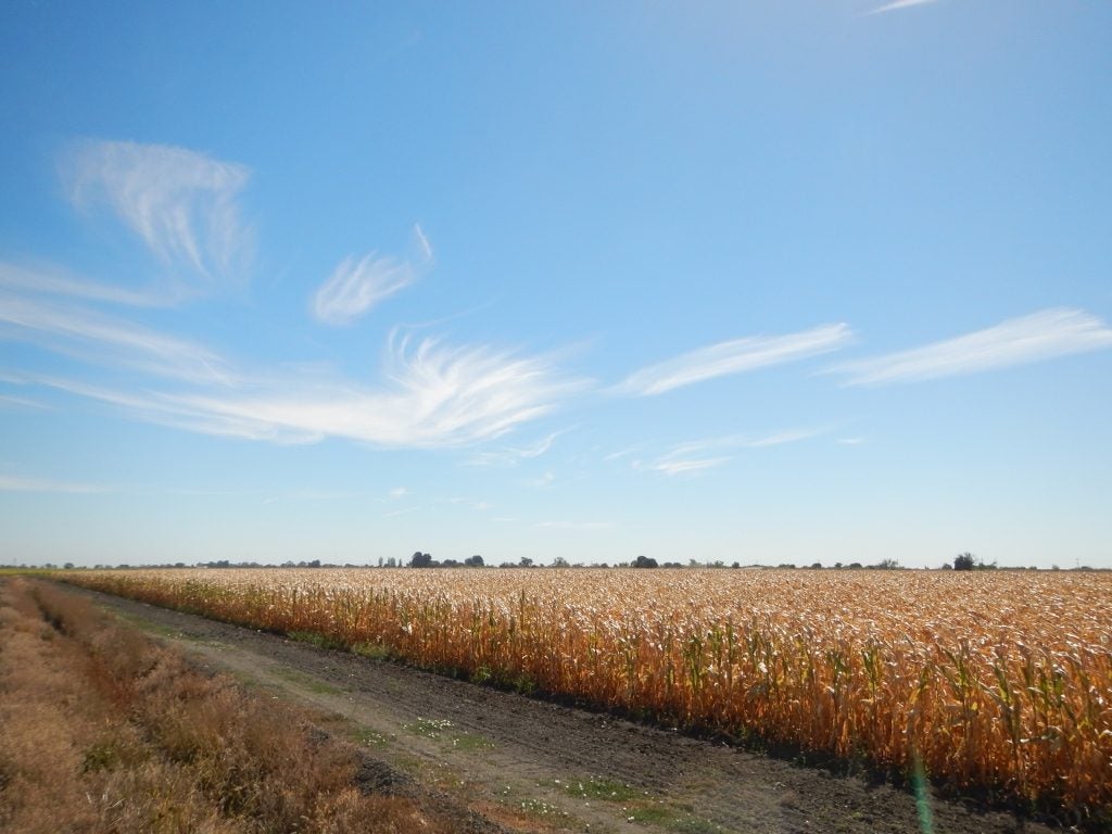
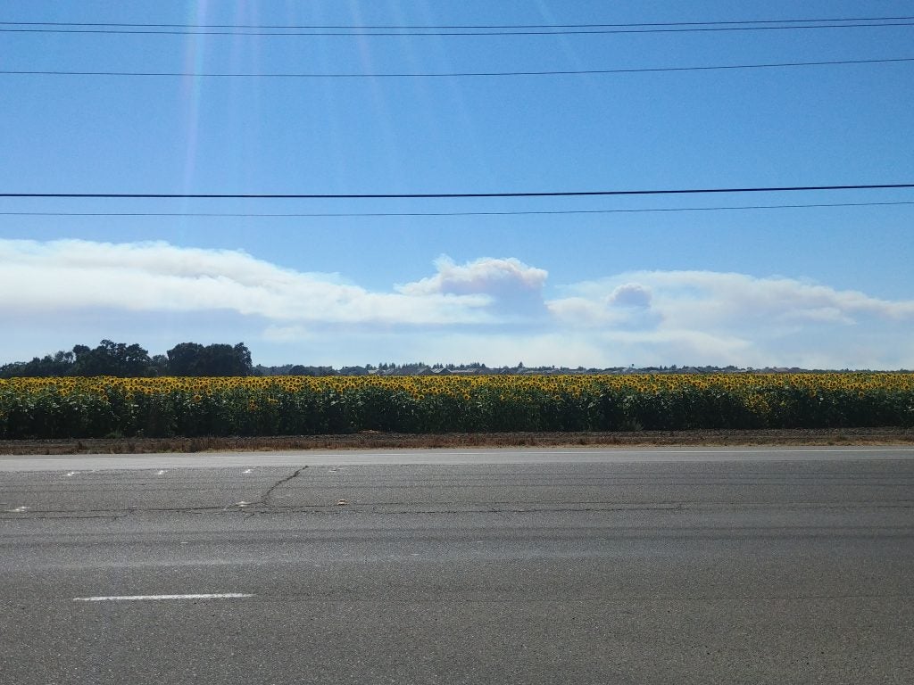
- Delta Corn © Jenae Clay
-
- Ice-fall
-
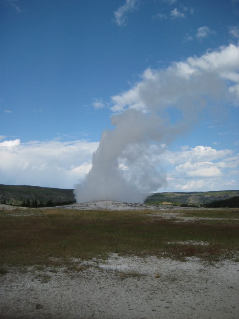
- Yellowstone
-
- Stacked in WY. © Jen Power.
-
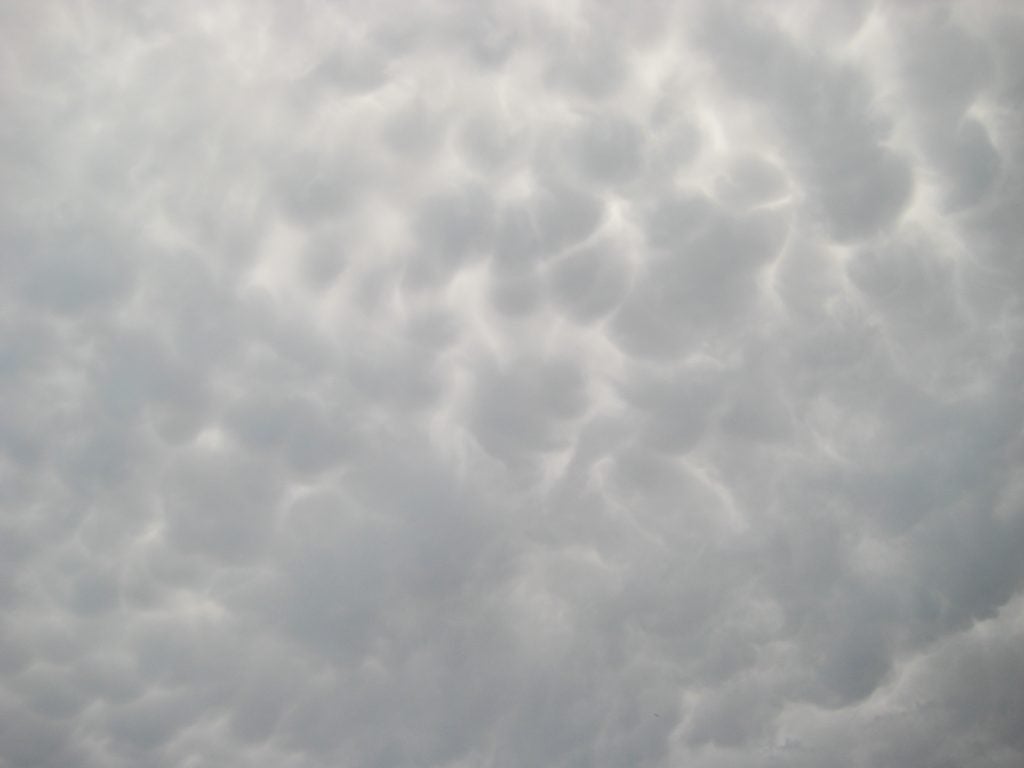
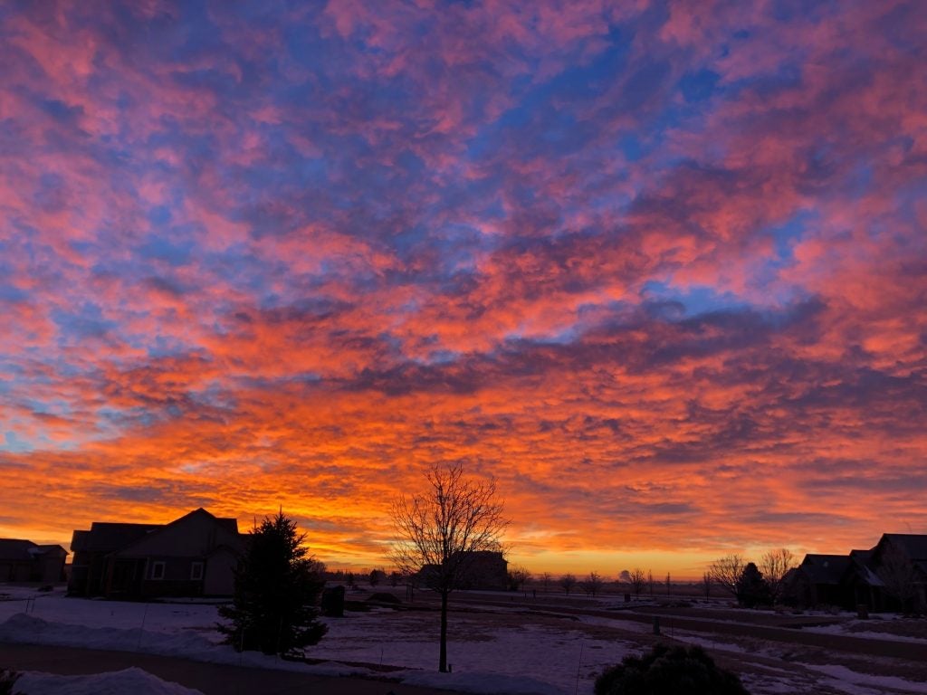
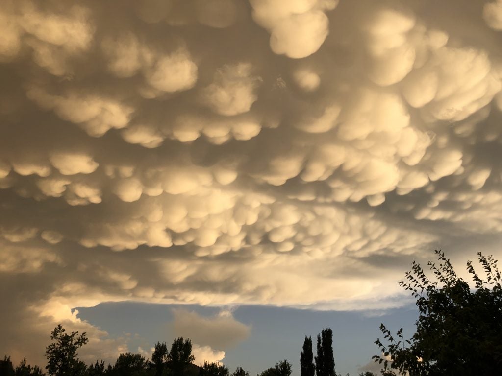
- Mammatus
-
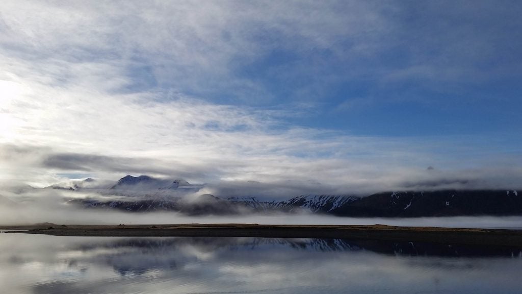
- Iceland. © Katherine Chin
-
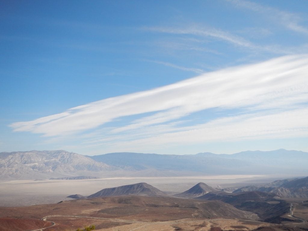
- Death Valley Cirrus © Jenae Clay
-
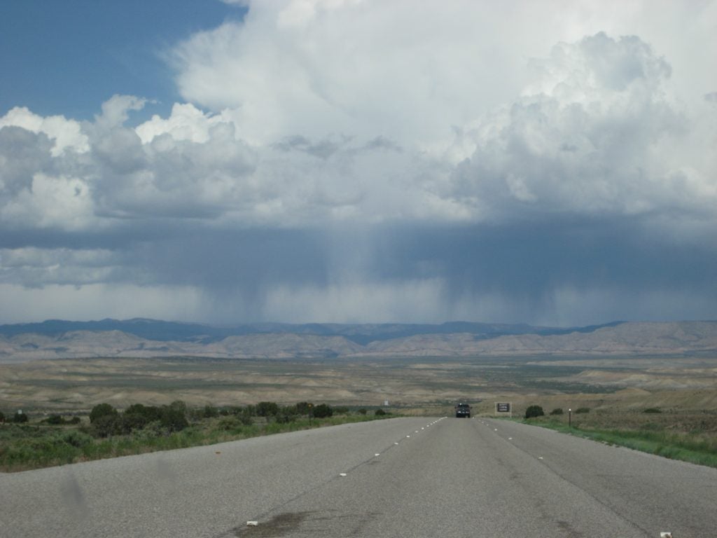
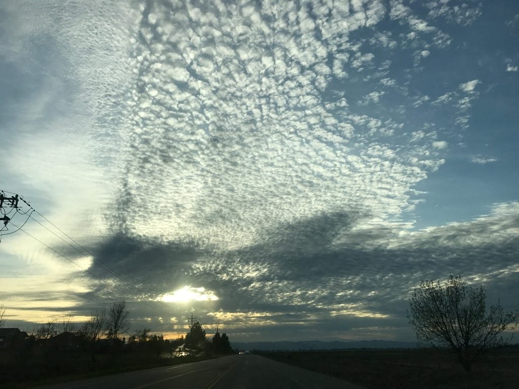
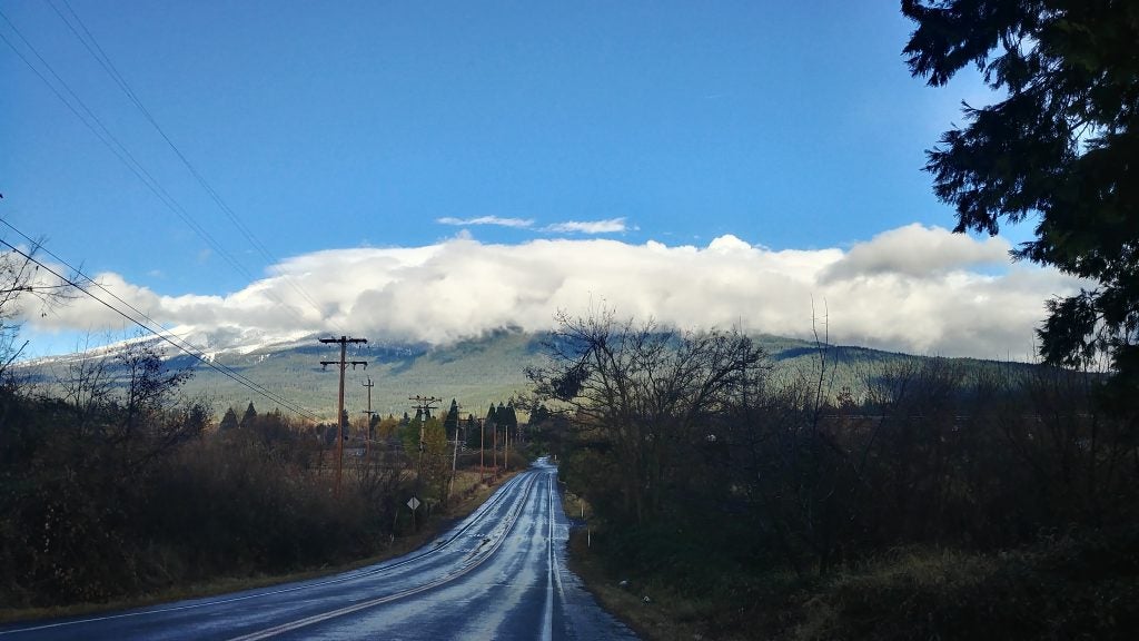
- Long Road
-
- Royal National Park, Australia. © Katherine Chin
-
- Qinghai Bow © Lea Tong
-
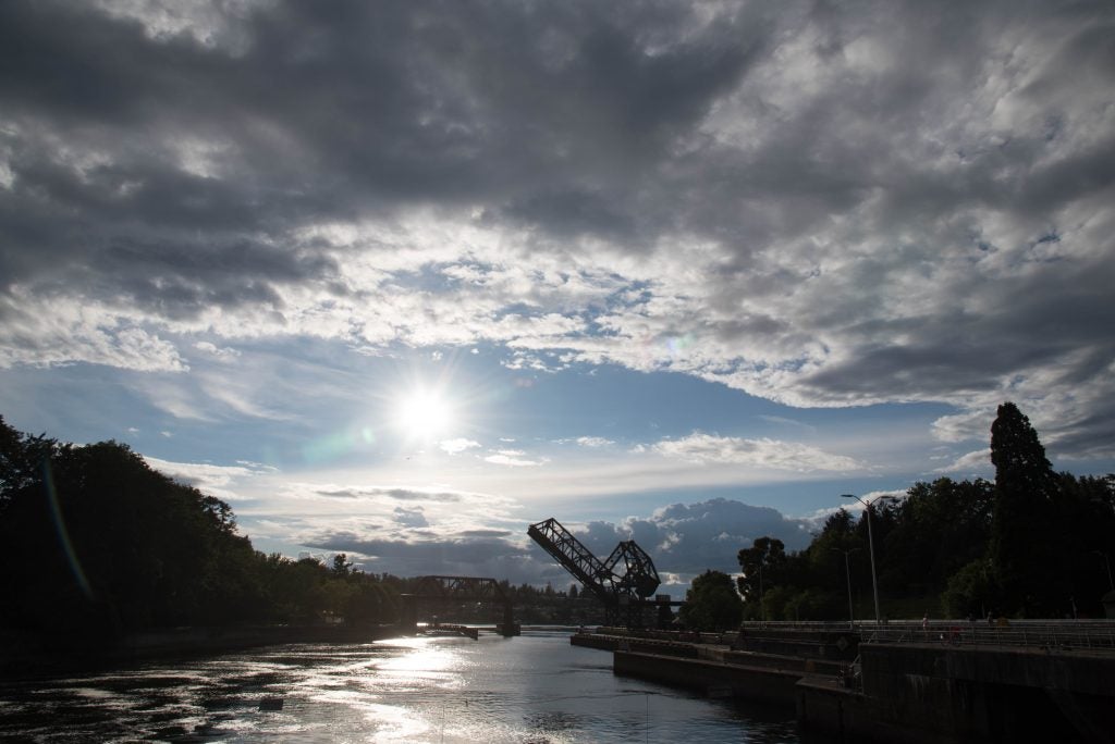
- Ballard Locks. © Katherine Chin
-
- Wet and Dry
-
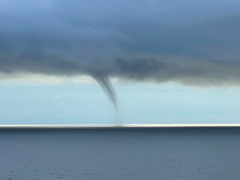
- FL Water Spout. © Walter Milton
-
- Pancake Lenticulars © Nick Falk
-
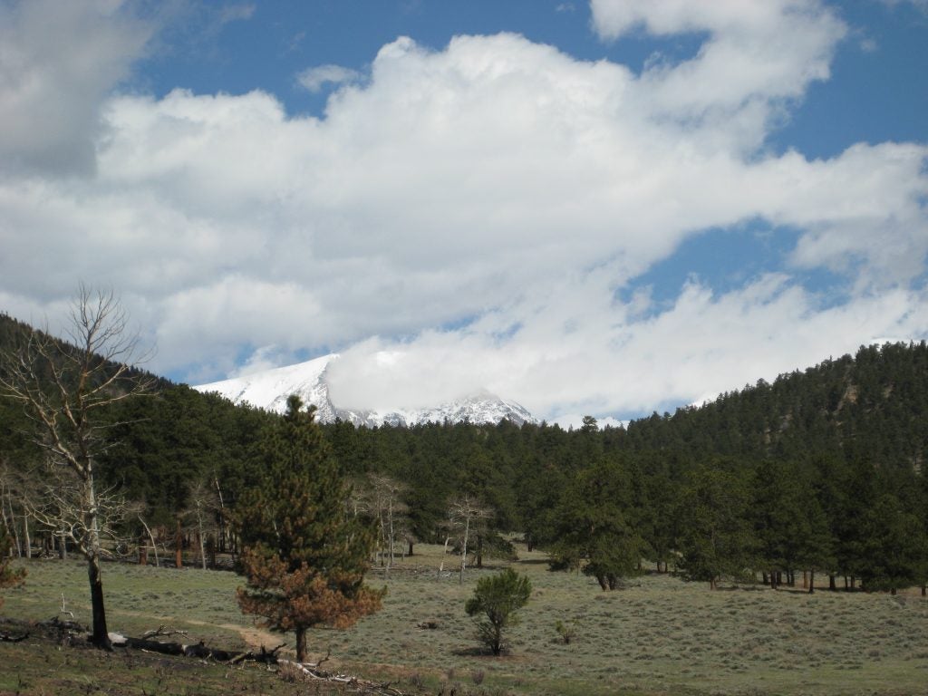
- Mt Wilson © Jenae Clay
-
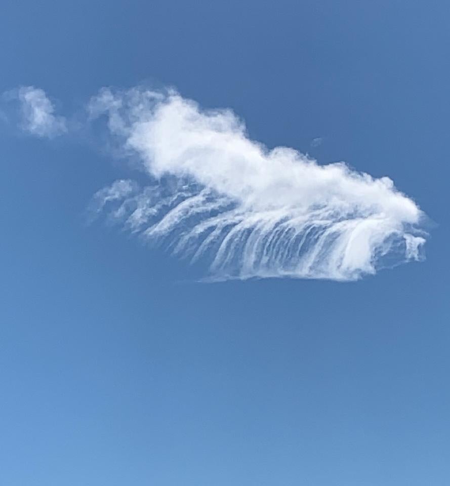
- Waves
-
- Mono Lake © Nicholas Falk
-
- Rain over North GA. © Laura Gray.
-
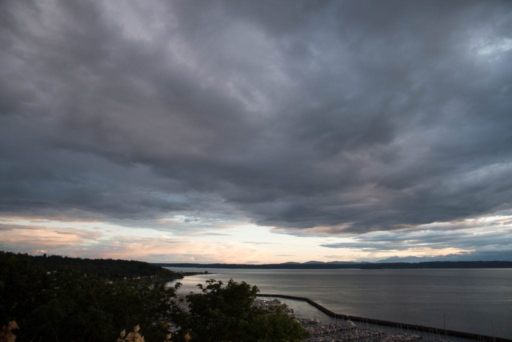
- Sunset in Seattle. © Katherine Chin
-
- Pedestal and Anvil Mammatus © John Igel
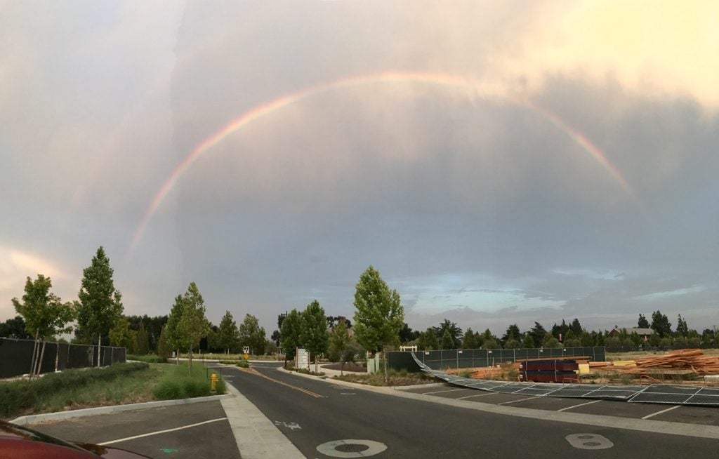
-
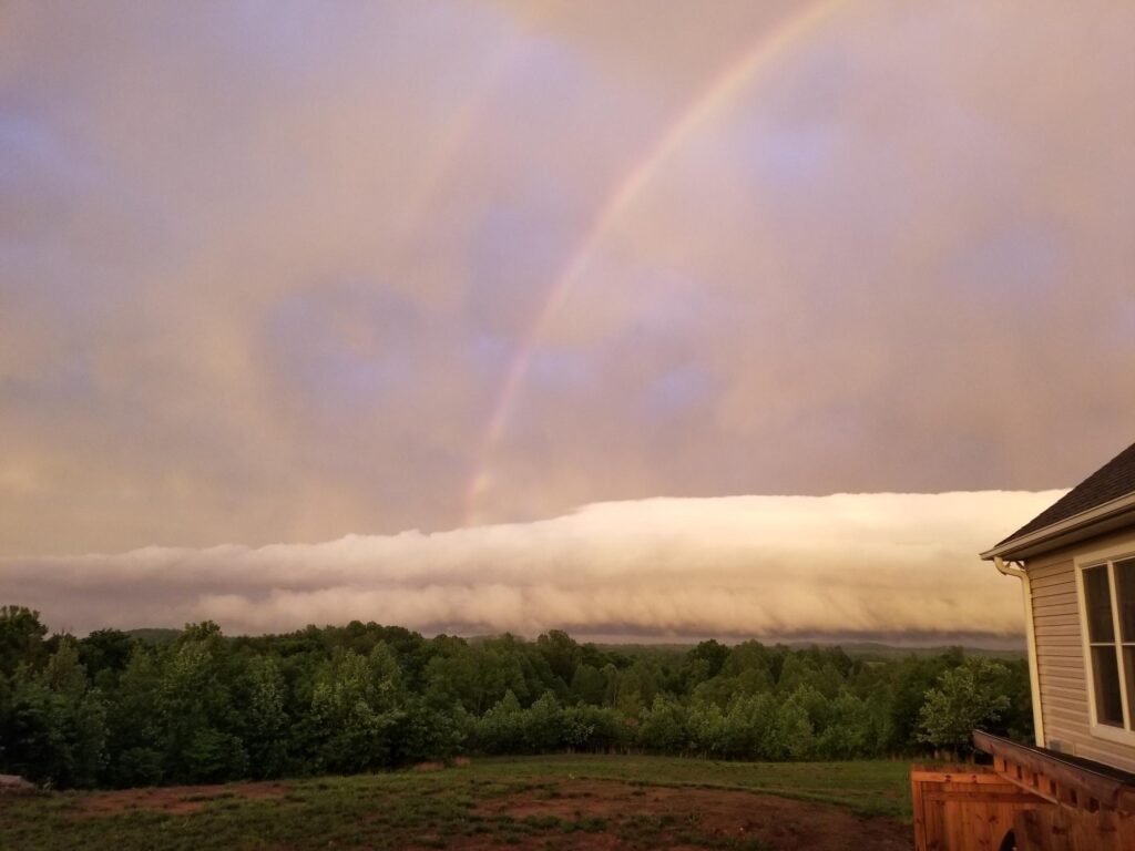
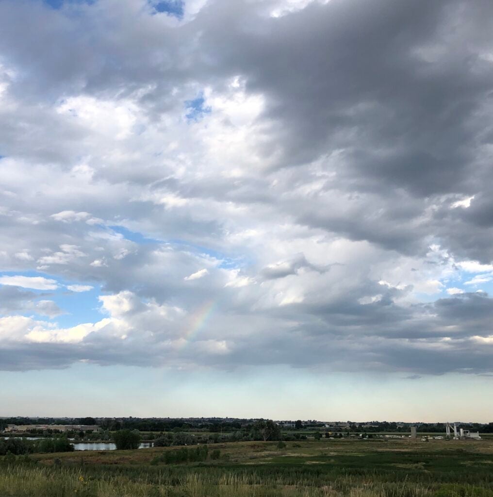
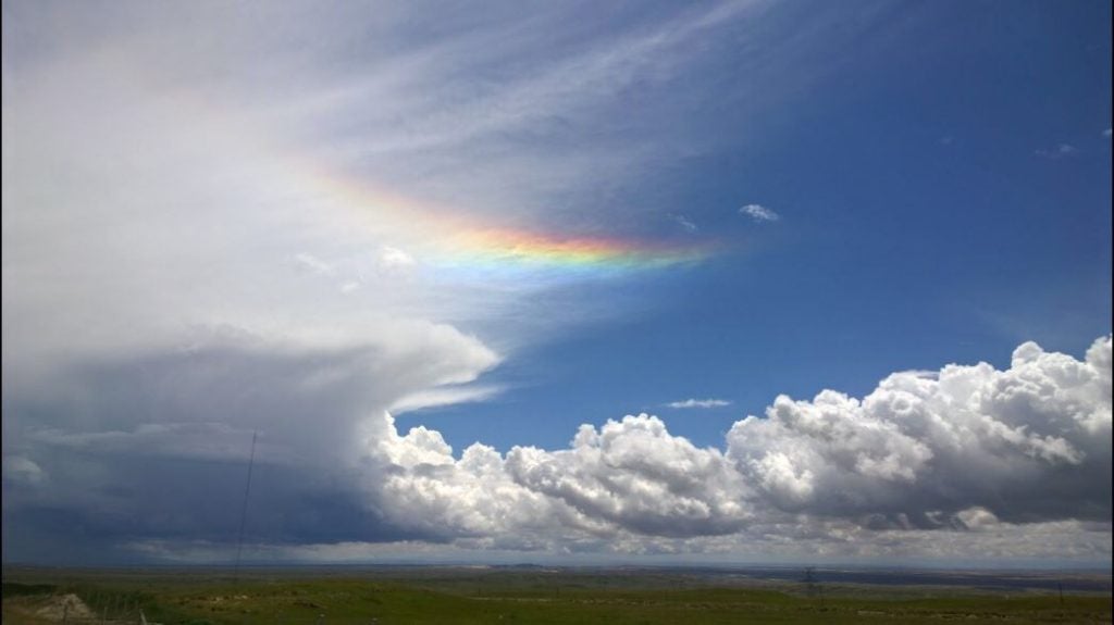
- Double Bow
-
- Wyoming BL
-
- Ocean Undulatus © Lucas Sterzinger
-
- Sage
-
- Hard Edges
-
- Sunset Virga © John Igel
-
- Grand Canyon © Jenae Clay
-

- Multiple Cloud Types © Jillian Olivar
-
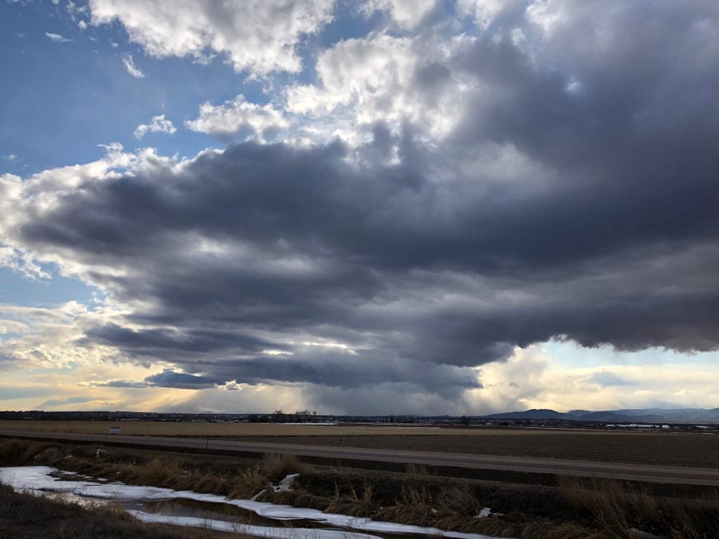
- Snow Rolling Off the Front Range © John Igel
-
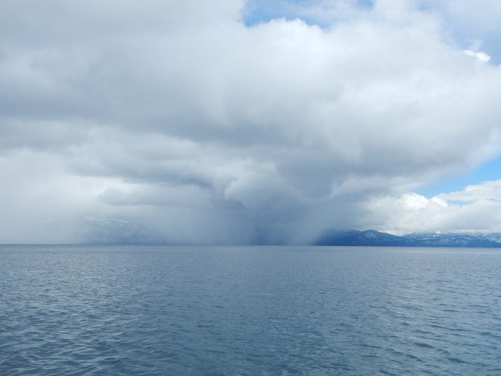
- Tahoe © Jenae Clay
-
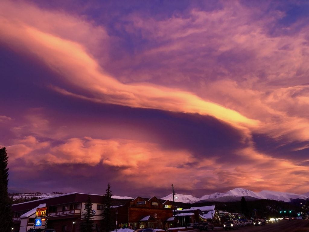
- Clouds over Winter Park © Eric Maloney