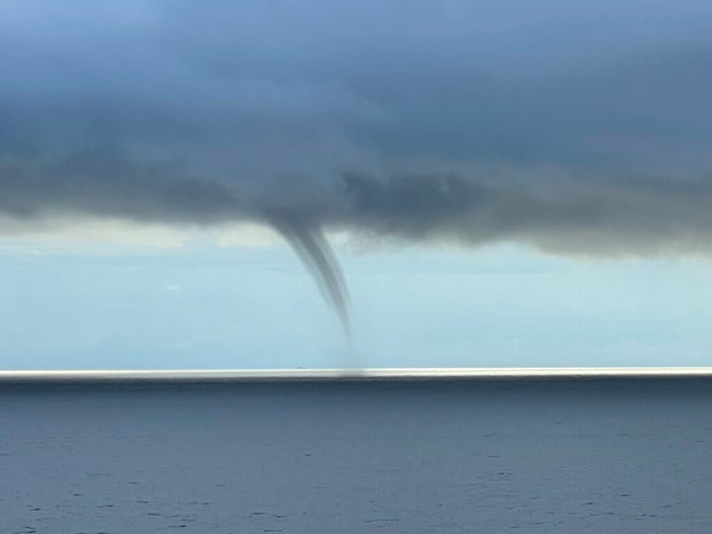
It’s been a long time coming, but my first set of papers on the tropical “precipitation pickup” are finally in press. You can find a link to both papers on the “Publications” tab. In Part I, I spend ~6000 words discussing the ways in which clouds and precipitation processes depend on column humidity. It turns out that clouds don’t always care about column humidity. This makes sense for certain clouds like shallow/congestus convective clouds or for deep stratiform clouds that don’t span the troposphere. Yet, it has taken us nearly 15 years to actually put that down on paper. I won’t summarize the paper. If you want a quick summary, read the abstract. But, I will mention a few things that didn’t get published in that paper that I think are interesting. The first is that the precipitation pickup does not appear to be the result of a systematic change in stability. The tropical atmosphere is broadly unstable almost everywhere. Instability increases with column moisture, but it does not change state near the pickup in my simulations. The second is that nobody I have had a conversation with has agreed on precisely what the “scale invariance” of some of the precipitation statistics really means. If you, oh wise internet reader, have a suggestion, get in touch with me.
Category: Uncategorized (Page 6 of 7)
I was lucky enough to present some ongoing work at Bill Rossow’s retirement symposium earlier this week. It was a great chance to give an incredibly influential colleague (if I might be bold enough to call myself a colleague) a fun send off. Bill was a student of Carl Sagan’s at Cornell and got his start studying the clouds of Venus, Mars, and Jupiter. And, this is the thing that impressed me the most about Bill — his academic interests are truly eclectic. My feeling is that more of us should study a variety of things. It helps us makes connections that we couldn’t before. I think Bill’s work, especially his early work, bears the imprint of someone who was thinking about several different problems. Bill also taught me another valuable lesson: suspenders make the man. Happy retirement, Bill.
One of the great environmental and human-health success stories of the past 50 years has been the improving quality of America’s air. Acid rain is less acidic than it was a generation ago and particles harmful to human health are less concentrated in our air. But that is not to say that air quality is especially good in all parts of the country, all of the time. The picture below was taken on my way home to Davis (well, the Sacramento airport) from a conference in LA. The picture is taken looking east at the southern end of the Central Valley as the sun was setting. This particular setup, with the sun behind me and my looking far off to the east, results in a particularly hazy looking picture. If you’re interested to know why, please take ATM 128. But, getting back to my point, individual locations in the US are still susceptible to conditions that result in poor air quality. Unfortunately, the Central Valley is one of those places.
(Disclaimer: I do not endorse Southwest or any other particular airline)
I am a fan of saying that science should be fun. Apparently at least one of the forecasters in the Seattle NWS office feels the same way. At 2:30am on Sunday morning, this particular forecaster wrote a discussion that will likely become one of the more famous ever. Enjoy. Also, thanks to a former classmate, Angela Rowe, now at UW for pointing this out.
Since the first indications came out several years ago that we might be able to use the attenuation of cell phone signals to measure precipitation near the surface at unprecedented resolution, I have been anxiously waiting further development of the idea. This week Nature (http://www.nature.com/news/mobile-phone-signals-bolster-street-level-rain-forecasts-1.21799) published a short report on the progress of one company trying to commercialize the technology. Particulars of this company aside, the fact that the use of cell phone signals to measure precipitation is mature enough that someone is working to sell the data is really exciting. For most folks, high resolution precipitation data will mean better, hyper local forecasting in locations with lots of active cell phone users. That’s exciting, but ultimately a little fleeting. I see the real promise of this technology being that it will contribute significantly to our understanding of clouds and precipitation at very small scales. A super high resolution tool has been missing from our research toolbox for too long. Better understanding of clouds will lead to better forecasts everywhere. I can’t wait.
So, it’s every baseball fan’s favorite time of year again. No, not the World Series, not the All-Star game, but Spring Training. It’s a special time in the baseball season when guys wearing number 97 run their hardest to catch a meaningless fly ball hit by Albert Pujols in a 10-2 blowout in an earnest effort to make the Major League team…or at the very least, to have their name associated in some small way with a future Hall of Famer. Well, OK, maybe it’s not every baseball fan’s favorite time of year. But, it’s definitely one of mine.
Anyway. I’ve decided recently that Spring Training is a fantastic metaphor for a university course. For veterans (the professors) who are already on the team, Spring Training (the course) is a chance to relearn the basics — be they executing a double play or doing integration by parts for the first time in a year. It can be a source of entertainment and a welcome return to a routine in an otherwise chaotic calendar. For the prospects (the students) wearing number 97, games (tests) and workouts (homeworks) are a great opportunity to learn something new (duh), see how things work at game speed in the Show (“Let’s derive the vorticity equation from first principles”), impress the front office guys (maybe, future employers? ), and catch a lazy fly ball hit by one of the veterans (keeping track of negative signs while deriving things on a white board is hard…). So, here’s to every baseball fan’s favorite time of year, Spring Semester.
I wanted to discuss a recent paper by a fellow member of the UC faculty, J.D. Neelin down at UCLA, and several of his collaborators. This paper lays out in a very simple way the manner in which total storm rainfall will likely change under global warming conditions. What I think is particularly useful about what the authors do in their work is that they note not only that storm intensity will likely increase under global warming but also that storm duration might change. Total rainfall from a storm (or at a particular location on Earth) is the result of the storm intensity and the storm duration. A colleague of mine back at Colorado State was fond of saying that “the most rain occurs where it rains the heaviest for the longest” which is a very simple statement but one that has often been forgotten in the global warming discussion. There are many practical reasons for this neglect, not the least of which is that we often lack temporal resolution of storms in climate models, our chief tool for predicting a future world. Neelin et al point out that the largest storm-total-accumulation values will likely rise due to global warming. And, I would suggest that their argument for why this is true relies uniquely on physical reasoning. We observe that many properties of clouds, including, apparently, total storm accumulation, obey simple power-law scalings. Global warming will likely affect the properties of these power-laws which will likely result in higher frequencies of what would in the current climate be considered extreme rainfall accumulations. Anyway, check out the paper — it’s freely available at PNAS.
We often hear about meteorological records being broken. That is especially true for high temperatures, which is a symptom of global warming, and record rainfalls, which some argue is also symptomatic of global warming but which I would argue is simply the result of the oddity of the statistical distribution of precipitation…but that isn’t the point of this post. The point is that those of us in the central valley approached another type of all-time record this weekend without much fanfare . We approached the all-time high (atmospheric) pressure record at the Sacramento Airport this weekend. On Saturday at 9:53am PST, the sea-level pressure recorded was a whopping 1036.6 mb. That’s seriously high. The all-time January record is barely higher at 1037.6 mb. The difference between yesterday’s pressure and Earth’s standard pressure of 1013 mb is the same as the difference between the standard pressure on Earth and some tropical storms (but in the opposite direction)!
I was flipping through my (digital) stack of papers and articles to read this afternoon when I stumbled upon a commentary article I’ve had sitting around for a few months. Tropical anvil clouds and climate sensitivity reviews in an easy to read way the basic state of our knowledge regarding the radiative heating of clouds in the current climate. The point I found most interesting is one buried toward the end. The author argues that the new challenge facing cloud-climate types is to determine a general physical law governing the relative distribution of optically thick clouds (which will cool the climate all else being equal) and optically thin clouds (that will warm the climate all else being equal). This is precisely the kind of work we do here in the Convective Atmosphere Group. Why are some clouds tall and narrow? Why are some short and wide? Increasingly, climate predictions will depend on answering those kinds of fundamental questions. It’s all about that optical thickness.
Also, I am now an official CocoRaH’s observer: “0.7 miles NNE of Davis”. You should join too.
Along with all the rain and the absolutely incredible snow totals in the Sierra, NWS confirmed yesterday the occurrence of an EF0 tornado just south of Sacramento on Jan. 10. There was very little damage reported, and this was nothing like the tornadoes that occur in much of the country, but it does serve as a reminder that tornadoes can occur across the United States.